Travels with Dick and Karen
Steens Mountain September 2016
Down there, over there, UP there, back over there,
and back again...
Gee... we haven't taken a road trip since ... ummm ... June?
And we did an exhausting show in late August?
(do I hear/feel the little travel bugs nibbling at our toes?)
Heck... let's go play somewhere we only saw (or heard of) in passing...
how's about:
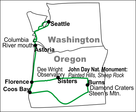
A 12 day road trip down the Oregon coast, over to Steens Mountain in SE Oregon and back home via Diamond Craters, John Day Fossil Beds and the Oregon coast again.
(we'd planned for two or three weeks.. but we were too efficient.
We need more practice at creative dallying.) |
 |
|
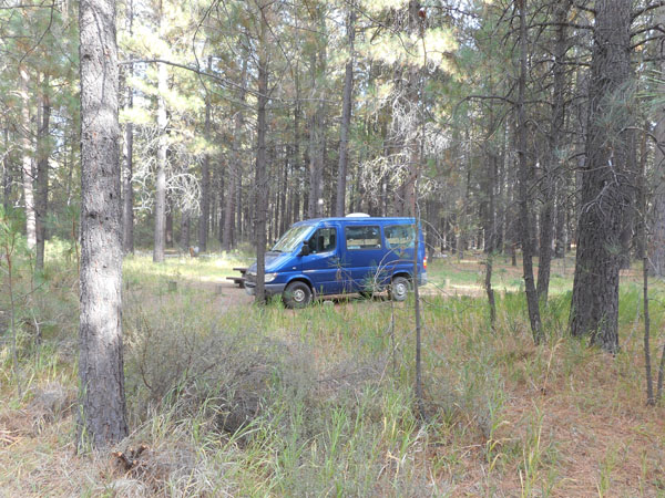
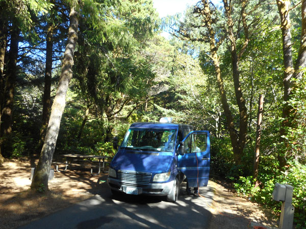
A day or three to convert the Sprinter back to "RV mode" from full-of-shelves-for-show, a few days of packing, and away!!
(with our typical crack-of-1:00 pm start...)
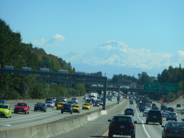
Mount Rainier came out to see us off.
|
 |
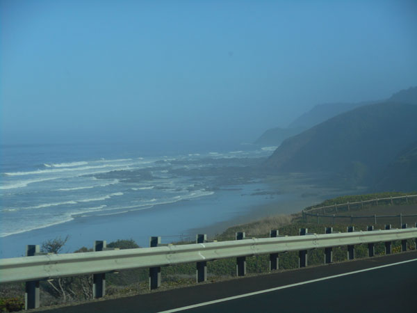
We abandoned I-5 in Olympia to take state highways (8), then (107) and then US 101 diagonally down across southwestern Washington to reach its southwesternmost tip.
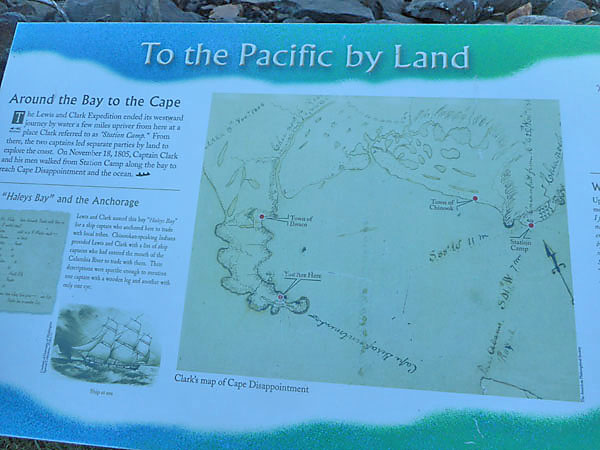
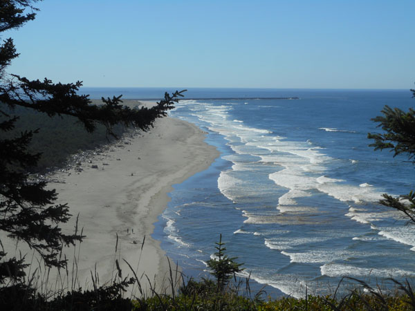
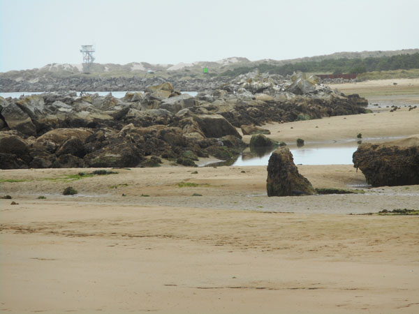
Our first night's camp was at Cape Disappointment on the Washington State side of the Columbia River's mouth. It was named by the Lewis and Clark expedition -- the vessel they hoped to meet for a ride back to the east coast had departed, much to their disappointment |
 |
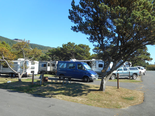
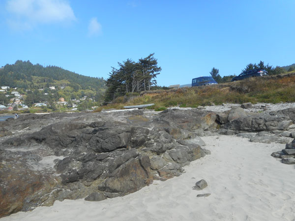
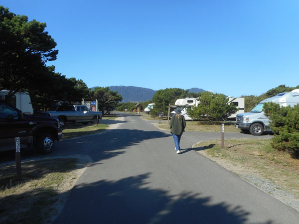
We like staying in many states' parks. They're tending to put in electric power so that other motorized campers aren't endlessly running their generators. We power our cooler and microwave.
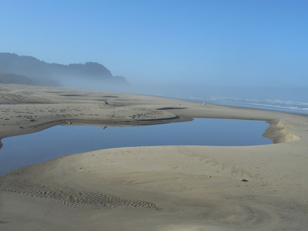
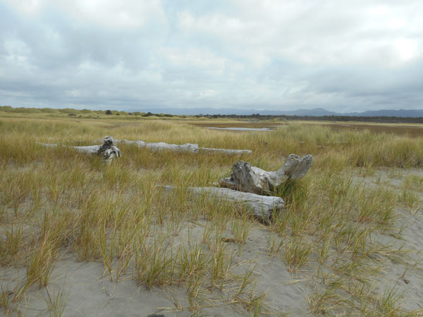
This particular campsite was open surf-smashed beach a hundred years ago. We'll explore that in later photos... |
 |
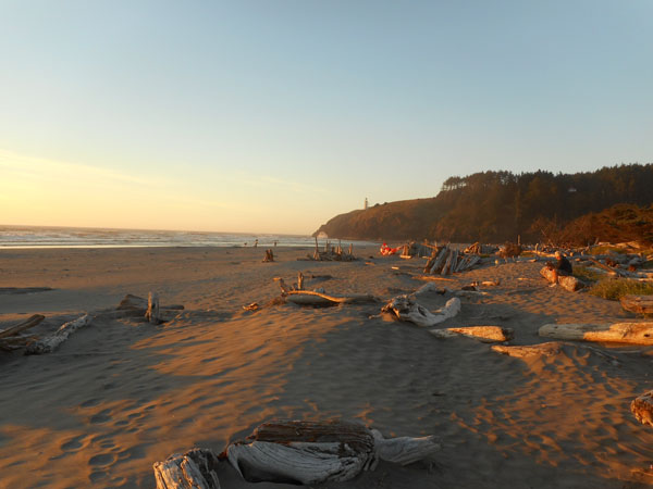
After setting up, we took a walk out to the beach to catch the sunset colors.
That's North Head lighthouse up on the bare bluff. |
 |
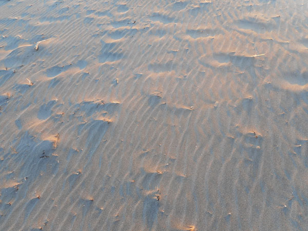
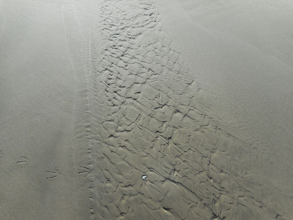
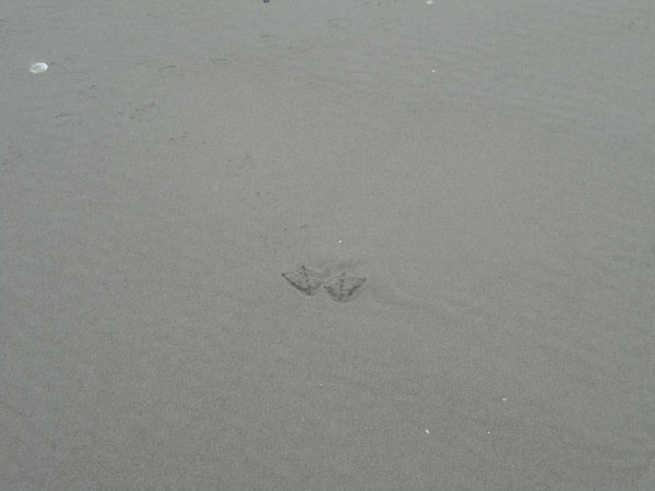
| The wind was making interesting patterns in the sand |
 |
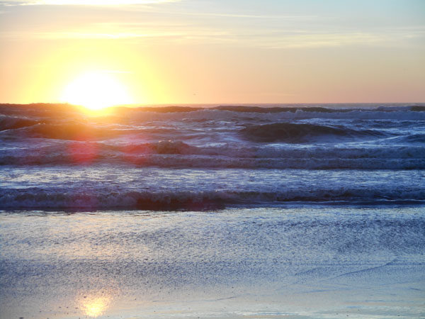
| The sun did its thing over the low surf. |
 |
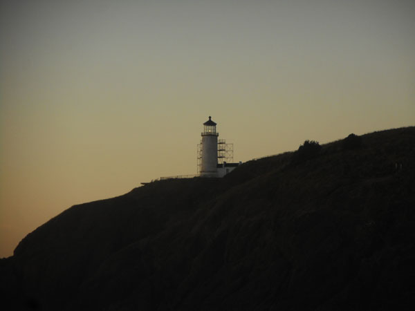
| The lighthouse did its thing, and night happened. |
 |
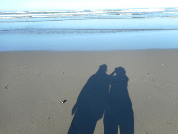
The next morning our shadows were long as we went back for another beach walk. |
 |
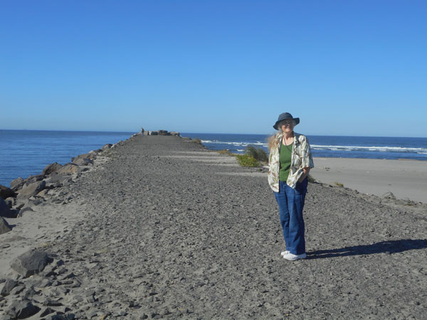
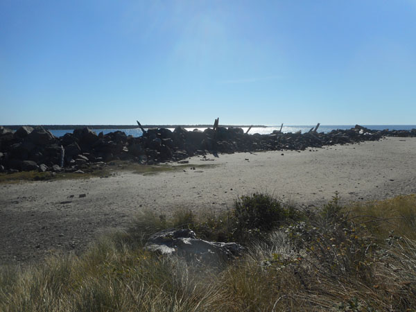
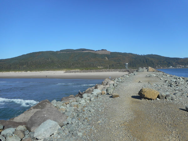
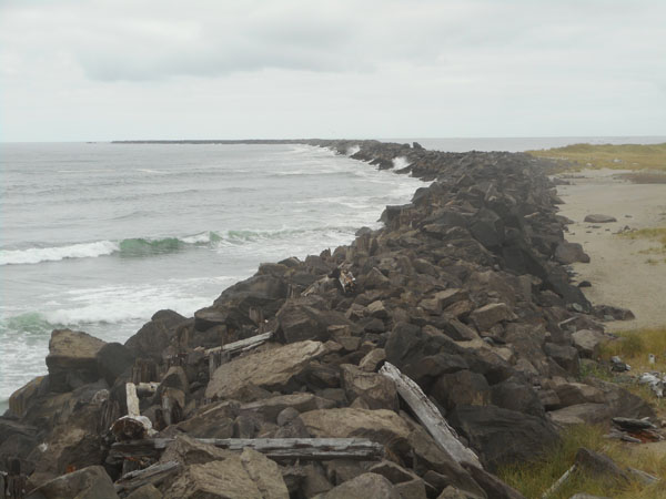
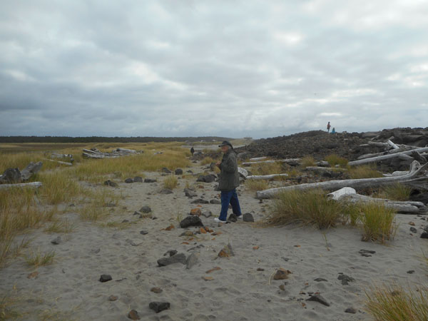
We walked out on the jetty that serves as the north boundary of the Columbia's mouth.
The land to the right is "new": sand stopped by the jetty. It has accumulated to the point that they could build the campground on it. |
 |
The lighthouse and beach taken from further out on the jetty. |
 |
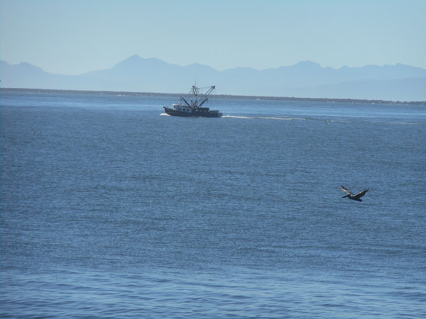
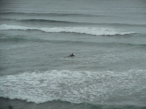
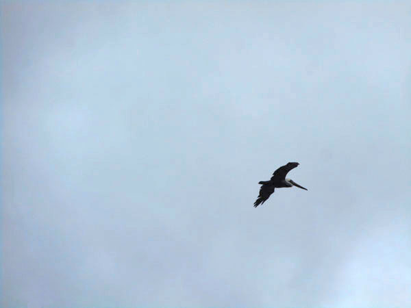
| We were watching the scenery, ship traffic and whatever when a pelican flew by. We're both extreme suckers for pelicans. |
 |
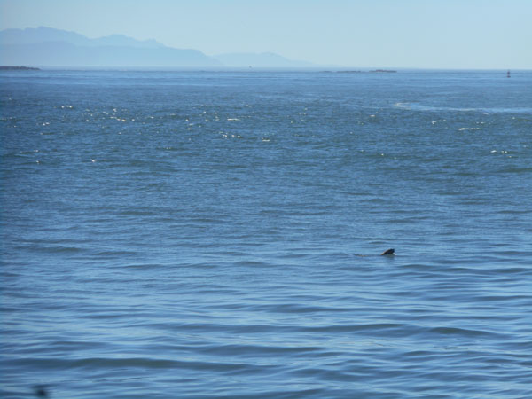
| We saw a fin or two... a local fisherman told us they were black porpoises |
 |
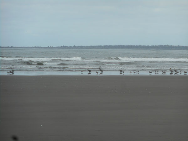
The earlier pelican had stopped us in our tracks.
Suddenly we had lots of pelicans.
We stop for pelicans.
Heck, we gawk for pelicans, giggle for pelicans, oooohhh at pelicans.
Pelican groupies... that's us. |
 |
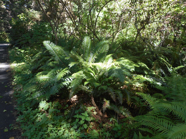
| We eventually peeled ourselves away from waiting for the next pelican and hiked up to the lighthouse. We met lots of ferns on the inland trails near it. (We stop for ferns, too) |
 |
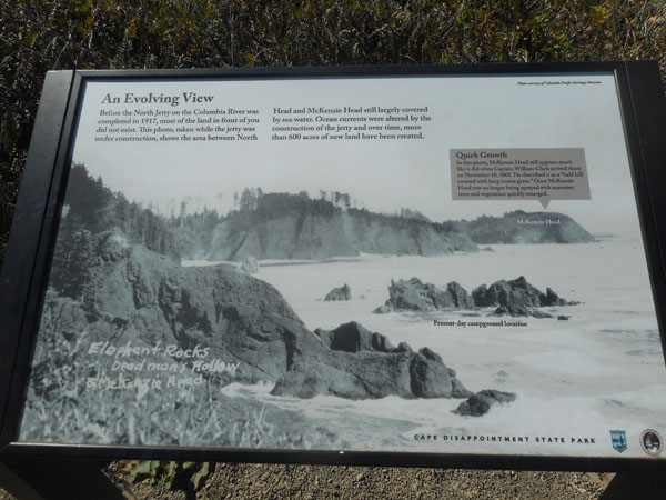
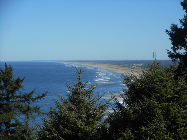
| Remember our campsite? It's located just behind the smaller isolated rock to the left of the group labeled "Present-day campground location". That rock is about twenty-five feet tall. |
 |
| A photo taken of the same beach, from vaguely the same spot (looking south from the lighthouse). |
 |
| Annnd.. looking north from the other side of the bluff. |
 |
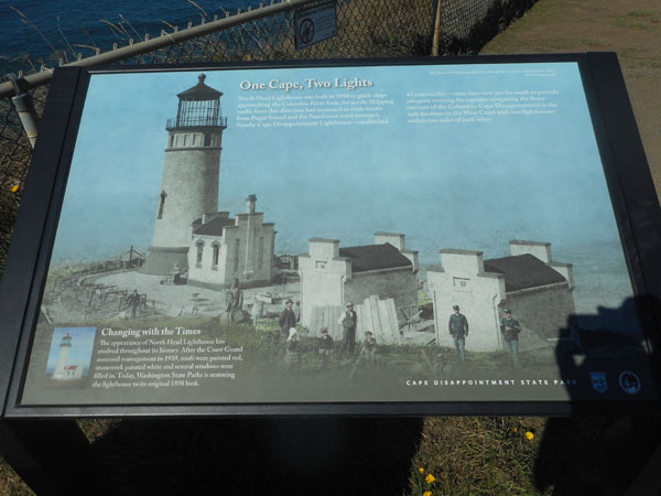
Occasional plaques telling of the area's history.
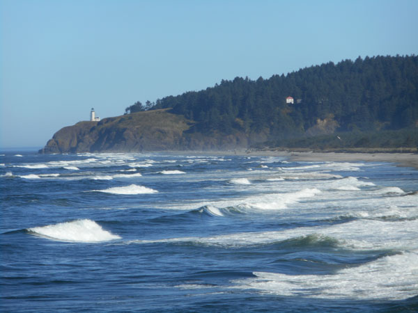
There's another lighthouse just south of the jetty. They needed two so that ships from the north could find the Columbia's mouth, and so that once they were nearby they could avoid the sand bars that are rampant in the area. These two lighthouses are the closest-together pair in the US.
We also stopped here when we took our Annular Eclipse Trip in 2012, and that's when we visited the other lighthouse, too. |
 |
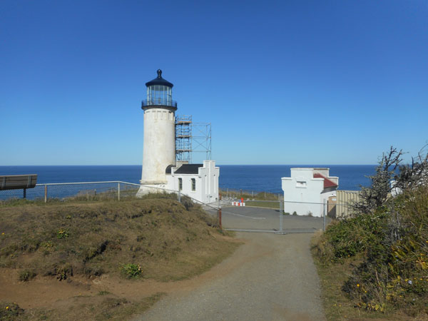
| This year the exterior of the lighthouse is under repair. |
 |
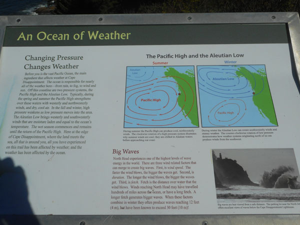
The weather and winds here are fierce ... the winds can get up to over 100 mph ... without being in a hurricane.
In the summer, the winds come from the north, and in the winter they're from the southwest. Non-intuitive. |
 |
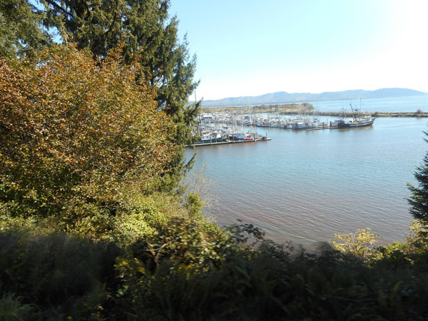
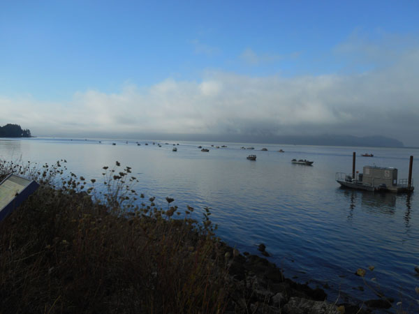
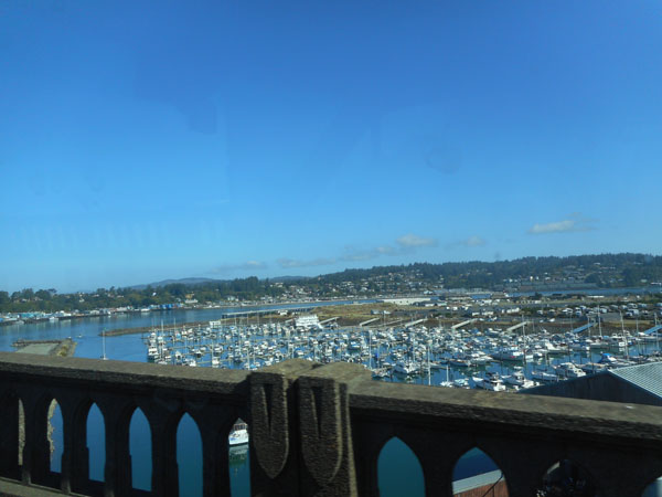
| As we left the cape, we looked down at Ilwaco's sheltered harbor. |
 |
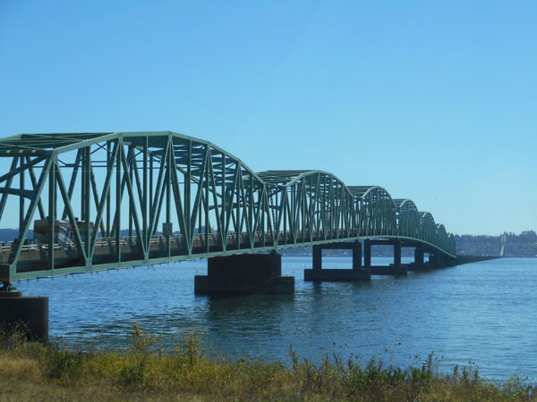
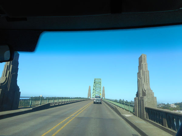
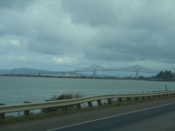
From there it was a short trip eastward to the bridge over the Columbia to Astoria, Oregon. |
 |
A few years ago we did an intentional down-the-coast "dawdle" trip, where we pulled off at all the scenice pull-outs and side roads. So during this trip we passed by many.
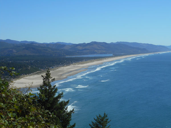
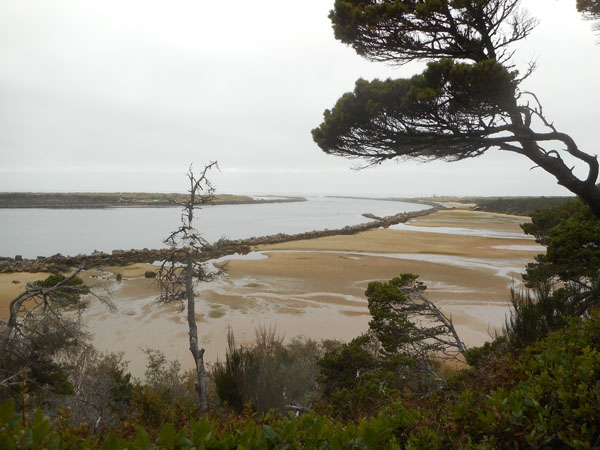
But a few still grab us. Such as this overlook of the dunes separating Nehalem Bay from the sea and Nehalem beach. The mouth of the bay is at the far end of the photo. We're about to drop into the town of Nahalem at its north edge. |
 |
| But to free ourselves from the sense of "been there, done that", we actively sought out new campgrounds. Some (like this one) we'd pencilled in to our map books (since they weren't listed?). This is the Bar View Jetty County Park (and campground). Unprepossessing in the camping area, perhaps. (although the tree did provide shade at the end of the day). |
 |
| But a short walk took us to said jetty... |
 |
| ... and the mouth of Tillamook Bay, with the offshore Three Arch Rocks rocks visible beyond to the south. |
 |
| ...and Twin Rocks to the north. |
 |
| Looking back towards Bar View (it turned out this wouldn't be the last jetty of this trip) |
 |
There seemed to be a fishing derby that morning as we rounded the bay |
 |
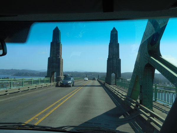
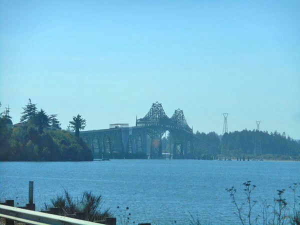
The highway sometimes simply skirted the inside of the bays, like at Tillamook (above).
But occasionally it crossed similar monumental bridges at bays' mouths, such as Newport and Waldport. |
 |
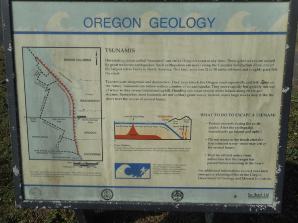
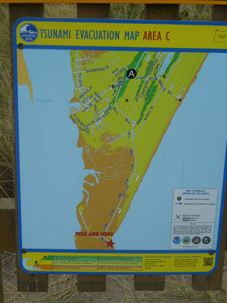
When we took scenic stops, we met a common sign all along the coast:
how Tsunamis happen, what to watch for, where to run... |
 |
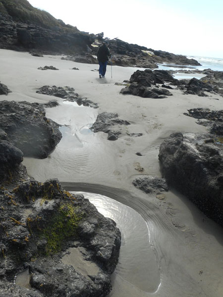
| The tidepools of Yachats are one of Karen's favorite stops on the Oregon coast but the tide was too far in to see much. |
 |
| ... but we'll go peek, anyway... |
 |
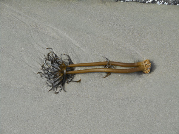
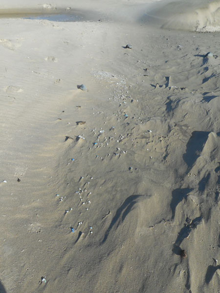
| Postelsia, an alga which grows on rocks in the high surf sometimes breaks off and washes ashore |
 |
| Sometimes strange beings appeared on the sand... |
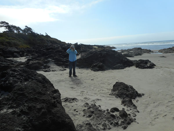 |
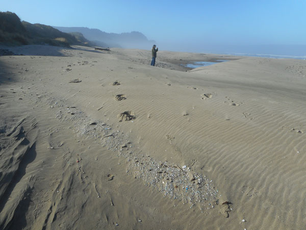
| Then were roped back behind the wheel to continue on down the road (Dick's view of the trip). |
 |
| ... unless the weather dropped in (we only caught clouds, not rain (so far)) |
 |
| Windblown trees as we explored a National Forest recreation site at Holman Vista, just north of Florence. |
 |
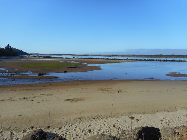
| Harbor Vista County Park, another new campground for us, overlooking the new land made by the north jetty of the Suislaw River at Florence. |
 |
| A kind'a foggy walk in the evening on the flats... |
 |
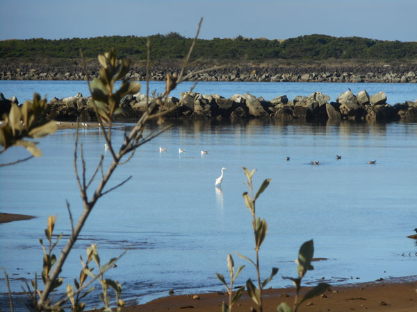
| But the morning brought out a white heron wading in the backwater |
 |
| Looking back inland, the campground is at the top of the tree-filled ridge on the left. |
 |
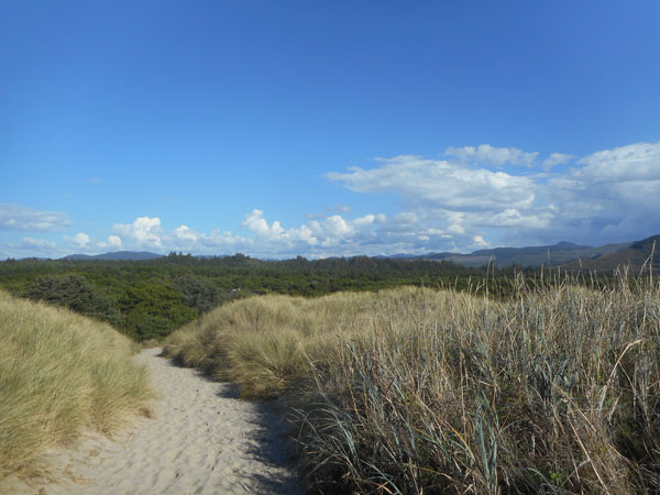
So we continued south, entering the 50-mile stretch of US 101 that runs parallel to the Oregon Dunes National Recreation Area.
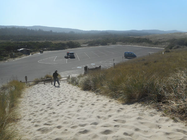
There are periodic spots where you can walk/drive/ATV/boat out to the shore. This one is Siltcoos Beach, due west of Westlake, ending in an expansive parking lot. We set about clinbing the dune to reach the shore. The area just south of this path (in front of the Sprinter) is a protected Snowy Plover nesting area. To the immediate north is an ATV playground. |
 |
Only specialized plants can grow here on the dune crest.
Other dunes can be seen in the distance on the right. |
 |
| About 100 yards of sand beach to the water. |
 |
| About an hour later, it's up and over the bridge from Glasgow into North Bend and Coos Bay. |
 |
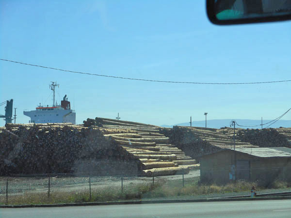
| Where we lunched at a sushi restaurant across the street from timber being loaded onto a freighter. |
 |
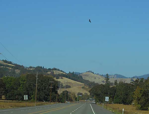
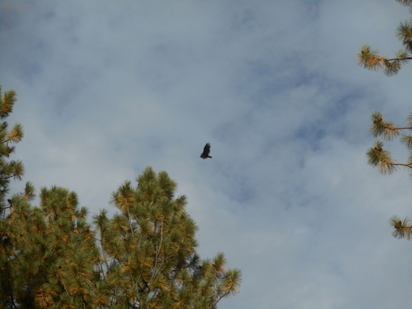
| At Coos Bay we turned inland to catch Oregon 42 just north of Coquille. We frequently see turkey buzzards circling over the road as we follow the Coquille river eastward and gently uphill towards Roseburg. |
 |
After a 3 mile jog north on I-5, we dropped into the roadworks that occupied central Roseburg, then escaped eastward on Oregon 138.
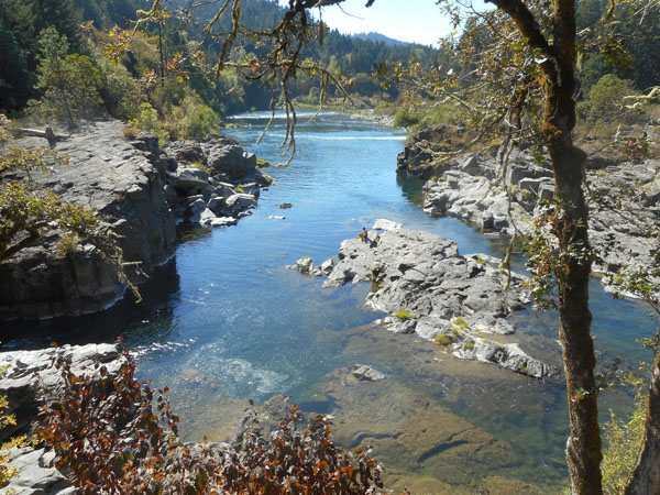
Which led us to the Colliding Rivers confluence in the town of Glide. If we ever manage to be here in the spring when the rivers are running, the Little River comes into the much larger North Umpqua. This photo is looking upstream at the (not currently) raging North Umpqua. |
 |
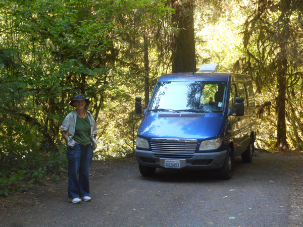
| This night we tucked ourselves into the small Boulder Flat National Forest campground. The Sprinter's tail (and thus, our heads) is facing the river |
 |
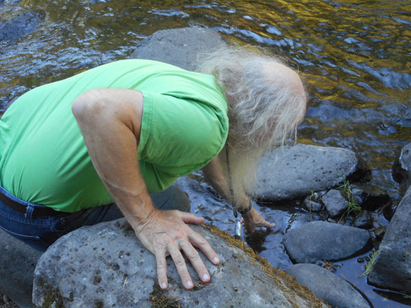
Which Dick had to dabble in...
(If we walk up to a body of water almost the first thing he does is stick a finger in it -- K) |
 |
| The next morning it was over the pass and on our way into drier eastern Oregon |
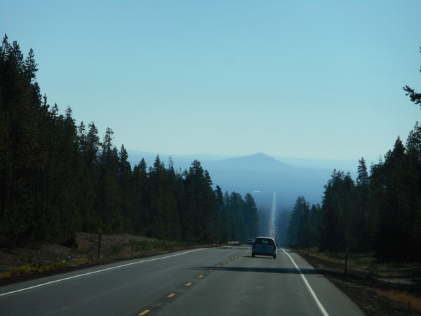 |
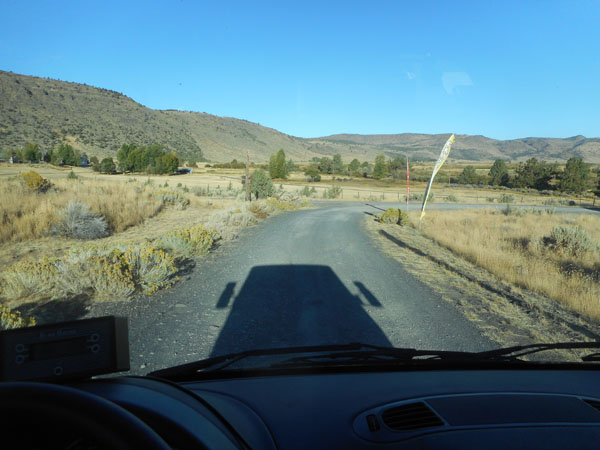
| Let's see.. .follow 138 when it turns left (eastward) just north of Crater Lake. Then left again (north) on US 97, then a sharp right (southeast) onto Oregon 31 ... and then manage to not find both Big Hole and Hole-in-the-Ground before turning left ... |
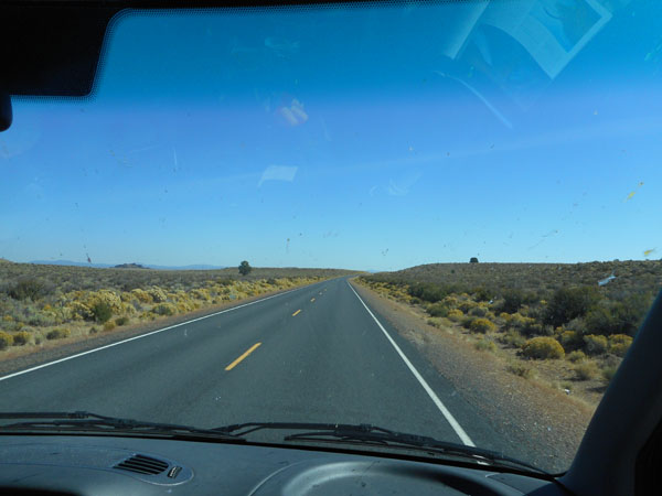 |
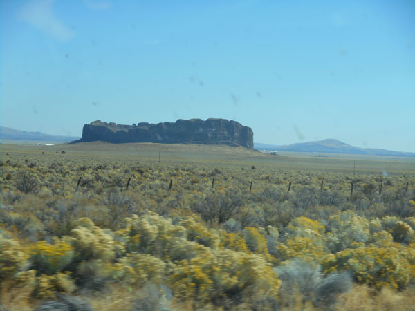
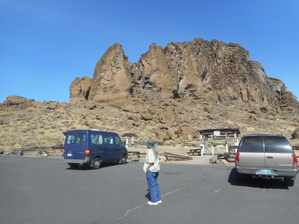
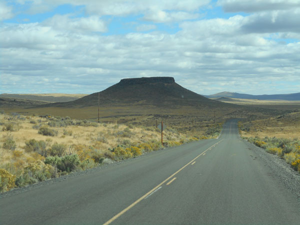
... on to Fort Rock Road.
It may be dry but there are lots of bugs on the windshield as we approach Fort Rock crater. |
 |
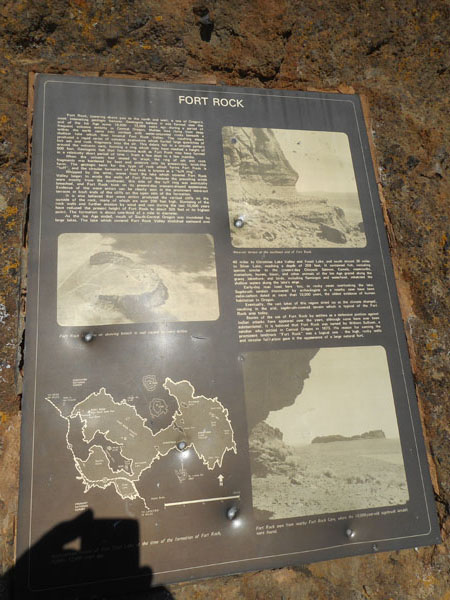
Explanatory pamphlet with obligatory bullet holes...
In brief: Fort Rock formed when a volcano erupted under the lake which filled this area 12,000 years ago. The water-saturated lake bed rocks exploded from the heat of the lava, throwing up a 500-foot high ring of rocks. After the eruption, the wind and wave actions of the lake eroded away the south face of the ring, leaving the structure we now see.
10,000 years ago someone left a pair of sagebrush sandals in a nearby cave. |
 |
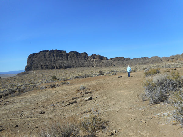
| Despite the erosion, the walls still tower 325 feet above the surrounding plain. |
 |
| The missing south wall made it an easy walk-up to the 1/3rd of a mile wide crater. |
 |
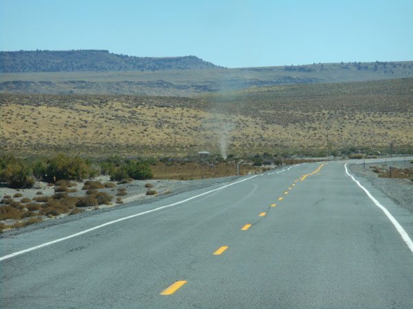
| Back on the road (and perhaps foolishly bypassing the restaurant in Fort Rock (the town, not the crater)), we continued southeast on Oregon 31 to be occasionally greeted by a dust devil. |
 |
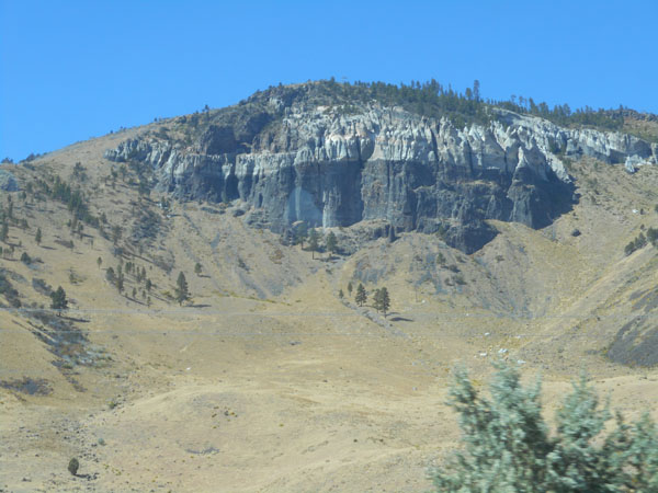
| ... interesting pinnacles behind a ranch house. |
 |
| A nice little park in Summer Lake served as a lunch stop ... Dick's lunch being supplied by the tiny grocery/gas shop across the street, Karen's by the contents of our cooler. |
 |
| The park included a brace of llamas passing through. |
 |
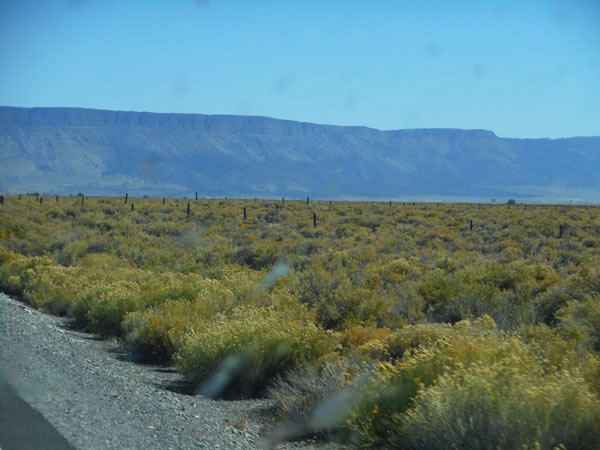
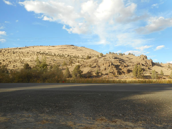
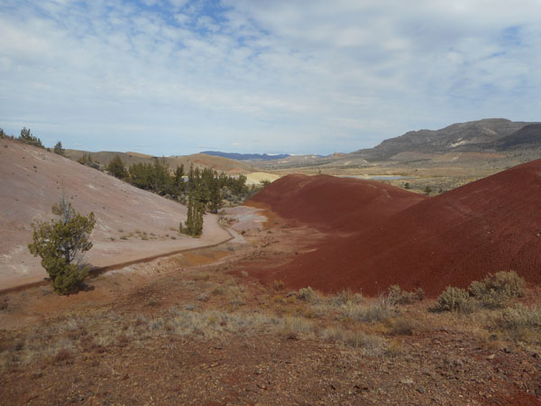
Highway 31 Tees onto US 395, giving us a face-on view of one of Karen's favorite geologic features: the Albert Rim.
It's the largest exposed fault in the US, 30 miles long and rising 2500 feet above our level.
We overnighted, restocked and did laundry in Lakeview. |
 |
| The next morning we set out northeast for the town of Plush (weeeelllll.... it did have a restaurant, but it was too early in the morning...). A bit beyond Plush the pavement ended and we washboarded up switchbacks on the steep face of Poker Jim Ridge. |
 |
| From the edge of the ridge we could look back down upon the (mosquito-filled) Warner Valley Wetlands 1500 feet below. |
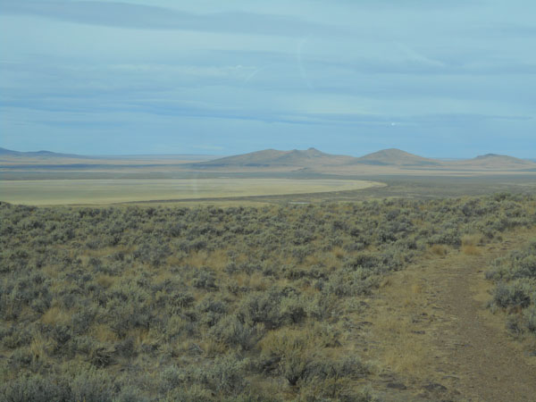 |
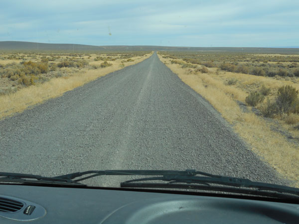
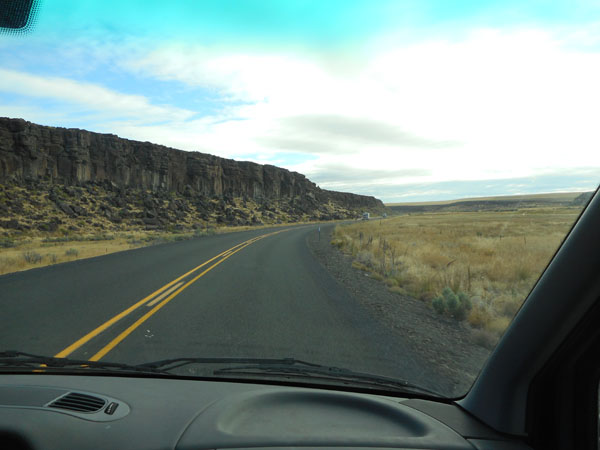
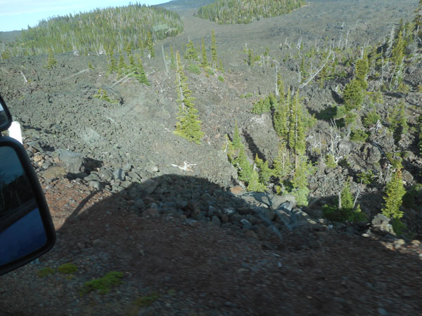
Then we continued on 70 miles of washboard gravel roads to cross the Hart Mountain National Antelope Reserve and the rangeland beyond.
Happily, traffic was (shall we say) light, so dust was rarely a problem. We thought. |
 |
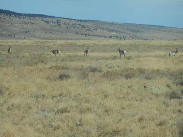
| Yes, we saw antelope (but not very many). |
 |
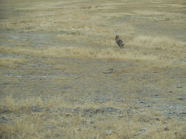
| A highlight was a coyote running beside the road as we go past. |
 |
| A couple of hours later we ended up back on black top for five miles of northbound Oregon 205. Here we're about to fall off Catlow Rim and drop precipitously a few contour lines down into the booming town (pop: 8) of Frenchglen. Has a nice restaurant in its historic hotel. |
 |
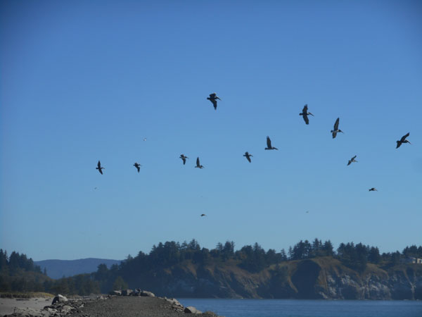
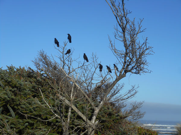
| Across the street from the hotel, the birds were gathering to go south. |
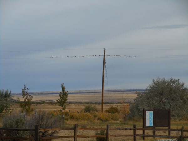 |
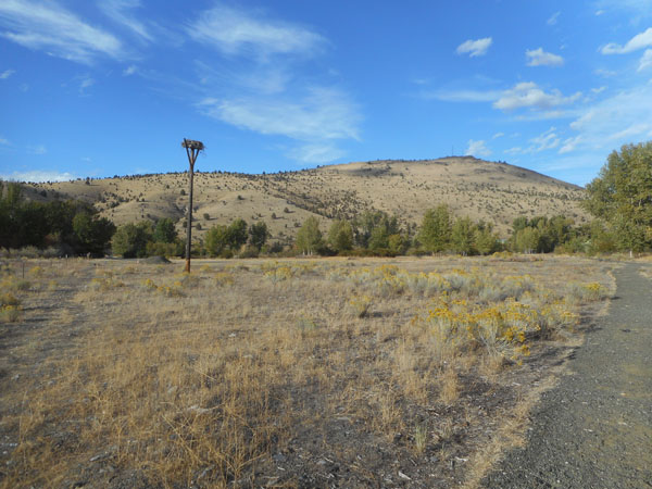
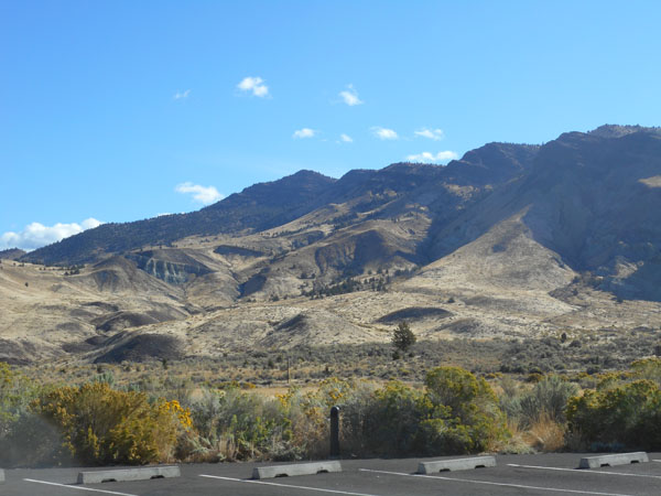
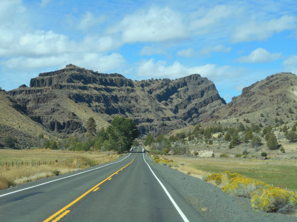
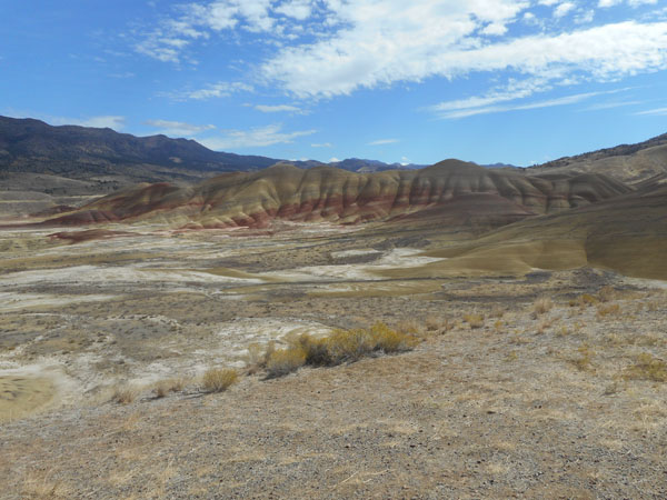
Frenchglen is plunked at 4200 feet, at the foot of the northwest corner of the Steens Mountain massif.
Steens Mountain is a 30 mile long tilted fault-block, with the steep face on the east.
A 60 mile long gravel loop road climbs up from Frenchglen to over 9600 feet and back down to south of where we hit Oregon 205.
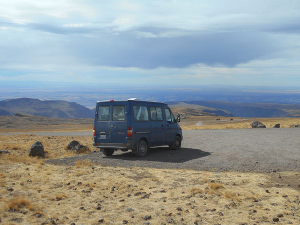
Refreshed by lunch (and coffee), we headed up. |
 |
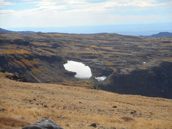
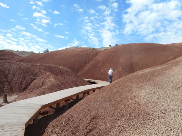
| There are 4 major glacier carved ravines and even in September there were patches of snow. |
 |
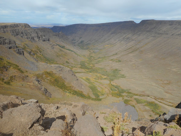
| Viewpoints were provided where the massif was cut by gorges. This is Kiger Gorge, looking north. |
 |
| It wasn't very crowded. (but there is traffic in the distance) |
 |
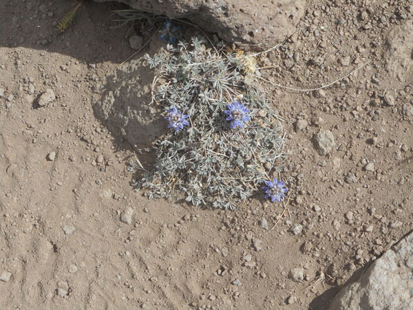
| Alpine vegetation held on where and however it could. |
 |
| When we weren't climbing, the plateau was deceptively flat... with gaps. |
 |
| (probably) Mosquito Creek's gorge. |
 |
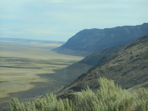
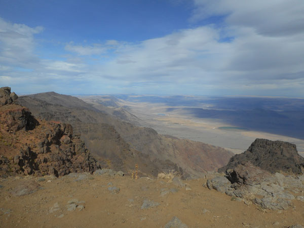
The east side is a 1 mile drop to the Alvord Desert.
This northeast facing view shows Steens Mountain's face continuing on into the distance above the sun-lit lowlands. |
 |
| Turning a bit to face southeast. |
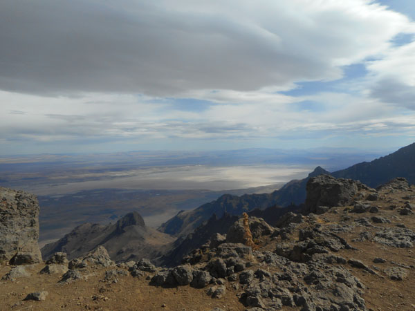 |
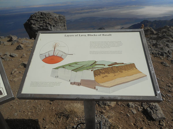
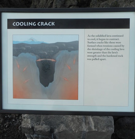
| As the lava that covered this area cooled, it cracked. Then the various cracked segments lifted, tilted and dropped to create the basic landscape. Steens lifted, and the Alvord Basin section dropped. |
 |
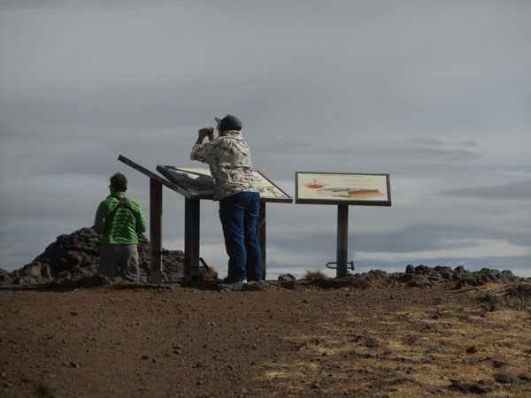
| Karen leaning on the signs to keep from being blown over the edge. |
 |
Rather than continue down the (reportedly) very washboarded southern end of the loop, we turned around and bumped back down to (almost) Frenchglen. Still three miles shy of town, we turned into the Steens Mountain RV Resort for the night.
Egad! A campsite with wi-fi! (and wind)
For those who prefer to rough it, there's a nice BLM campground nestled in the creek bed just 100 yards up the road.
This is where we discovered that the entire inside of the van was coated with road dust (thanks, in part, to the delightfully cooling new open vent in the roof). Much shaking of pillows, sheets and blankets. Much wiping of surfaces. Much dust-enhanced snoring. |
 |
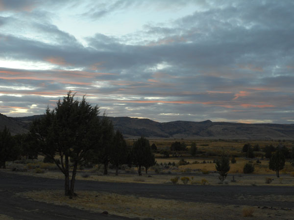
| The clouds provided a lovely sunset |
 |
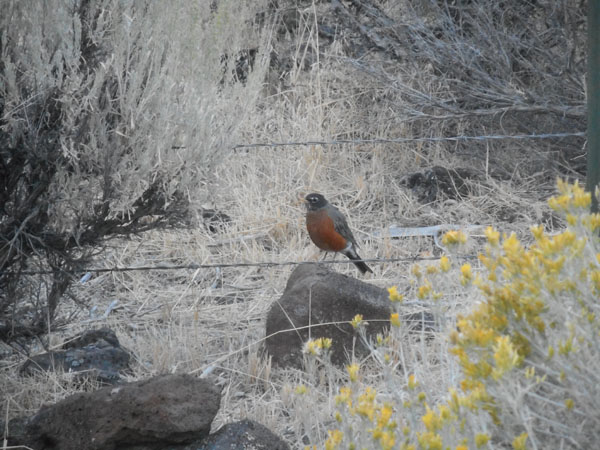
| A familiar bird in unfamiliar setting |
 |
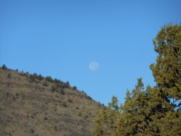
| The moon guided us westward for a mile the next morning. |
 |
| We had an uncharacteristically early enough departure that we cast a long shadow. |
 |
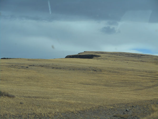
| Heading north from Frenchglen along Oregon 205, we passed the edge of a lava flow forming the east end of Jackass Mountain. |
 |
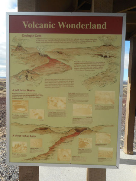
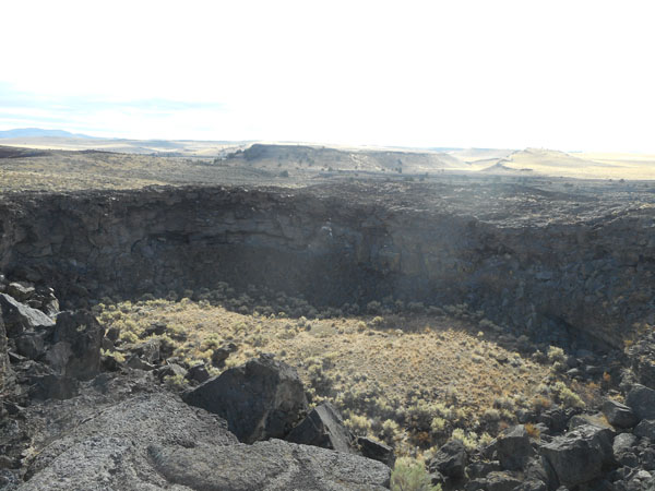
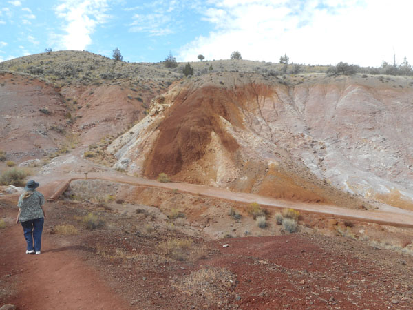
| During the trip planning, we noticed something called "Diamond Craters" ... that definitely called for look-see. |
 |
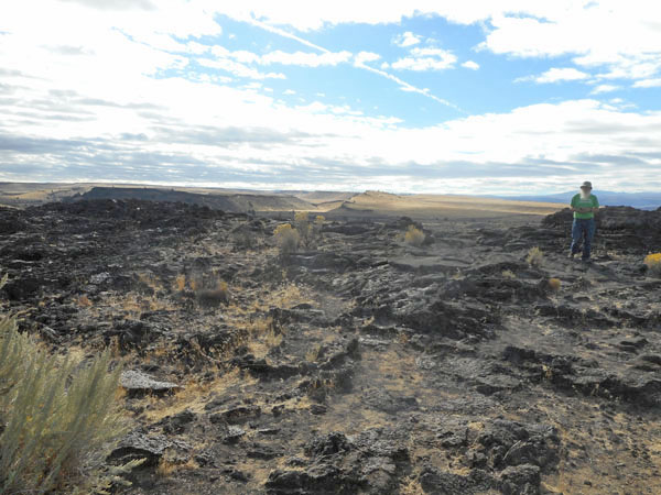
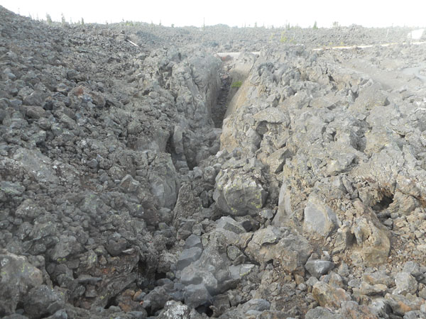
| It's an "Outstanding Natural Area" ... we have to agree. Next to the paved road we encountered fields of cracked lava. |
 |
On the unpaved turnoff, there's an explanatory kiosk. The site is managed by the Bureau of Land Management (BLM).
There is a nice explanatory handout for the "tour", but they were being handed out 40 miles to the northeast of the site. It can be downloaded from here.
(and supplied some of the following descriptions ;-) ) |
 |
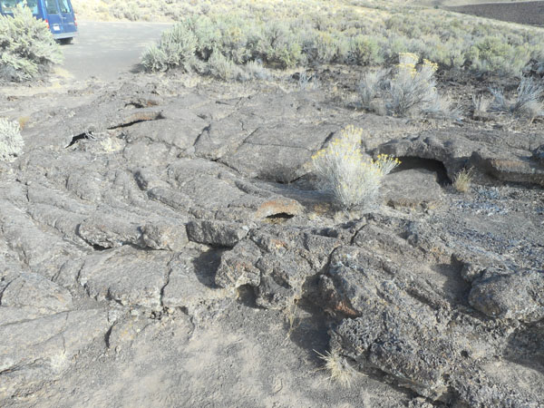
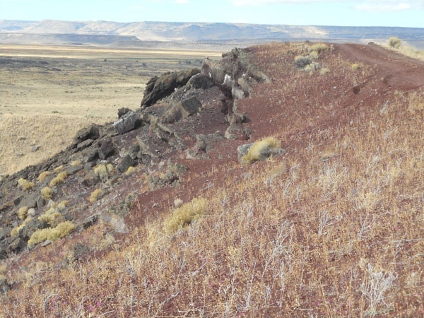
Lava bubbles adjacent to the paved road.
From here on in it was a 7 mile long single lane gravel road. At the end you turn around and come back out the same way (with one minor detour). Most of the road was in decent shape, but there was a mile of hard-packed washboard that simply had to be endured or crawled over... twice. The unpaved section took us about two hours (which included many scrambles out of the Sprinter and ooohing and ahhhing). |
 |
| A cinder cone ... hot magma rises up through water-soaked layers.
The water instantly changes to steam, causing magma to explode and hurl rock fragments in the air.
The fragments fall back into the developing cinder cone and roll down into the vent. This is repeated several times as the fragments become coated with younger molten rock. |
 |
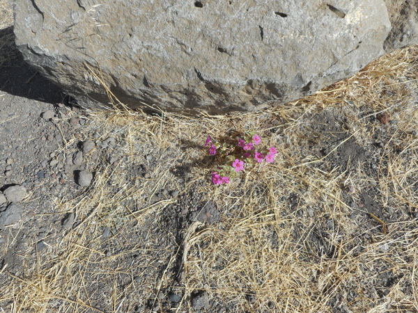
| Amid the dryness and desolation were lots of pink flowers |
 |
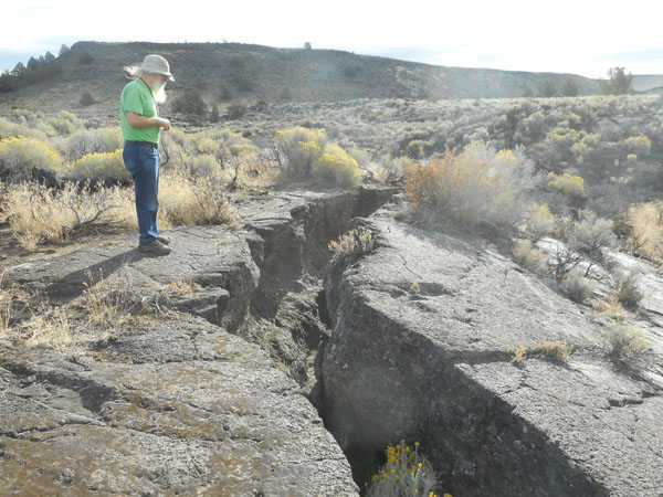
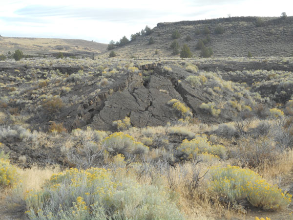
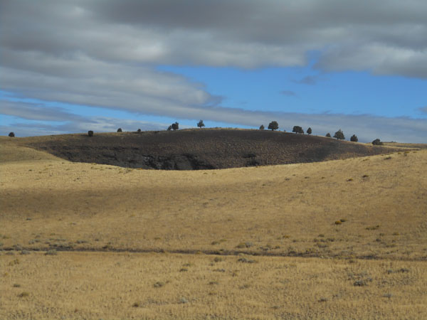
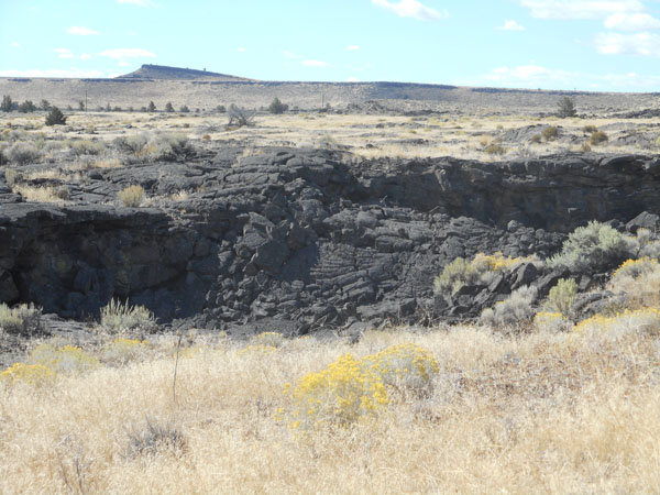
| "Lava Pit Crater" wasn't formed by an explosion.
Instead, pit craters like this form as molten basalt repeatedly wells up at a vent and flows in channels and mini-lava tubes away from the vent where it solidifies into rock layers. Still-molten lava at the vent subsides back into the vent leaving a pit.
The lava may also subside when it has degassed. The crater has enlarged as rocks have fallen away from the rim, burying the original floor under rock and dirt. |
 |
| Much of the lava forming in this area is "magmatic", mostly basalt. It flows fairly easily so it forms the swirls and overlapping pudding-like shapes. |
 |
| What the rim of the Lava Pit Crater looks like. |
 |
| Another crater ... either the flank of South Dome or Central Dome. |
 |
| more cinders |
 |
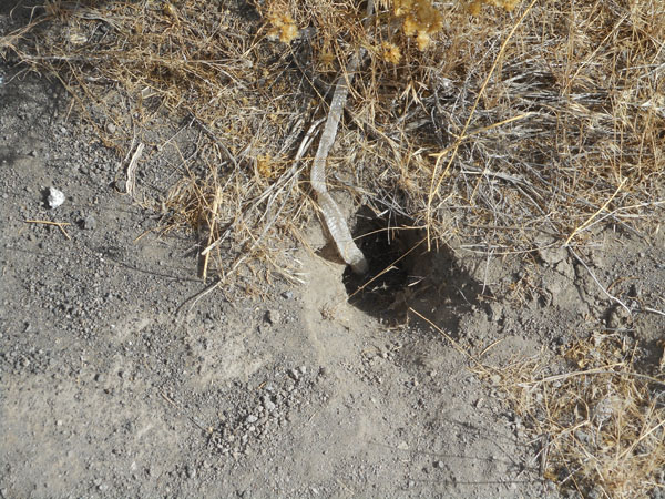
| Rattlesnakes are in the area, but the only evidence we saw of life on the ground was this discarded snake skin. |
 |
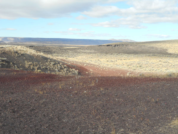
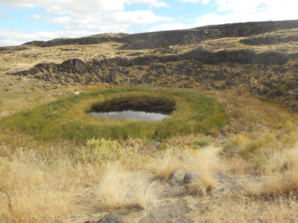
The last stop on the gravel road brought us to a pair of craters, Dry Maar and Malheur Maar. The latter with a fine pond.
The brochure tells us that this six-foot-deep spring-fed pond has been here for 6000 years. It's sitting on top of 50 feet of accumulated sediments, which provide a wealth of information of the past in this area. |
 |
| But then it was time to turn around and spend a half hour bumpity-bumping our way back out to the paved road. Taking Lava Bed Road a couple of miles north from the unpaved intersection broght us to more accessable lava. This is from a flank flow from Graben Dome. |
 |
| A butte forms where a lava cap keeps the soil below from eroding. |
 |
We three-quarters circled Malheur Lake counter-clockwise to eventually reach the town of Burns. We lunched, fed the Sprinter some fuel, and decided to go north to the greener hills.
Dick considers US 395 between Burns and John Day as one of the prettiest stretches of road anywhere ... there may be more scenic, more flowered and simply easier roads to drive, but for some odd reason he finds this pleasantly relaxing (you can tell he's never tried it mid-winter). |
 |
| Turkey buzzards hanging out in a thermal, hoping for inattentive drivers... |
 |
| We passed through a couple of miles of burned area. |
 |
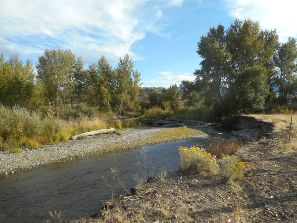
In the town of John Day we turned westward on US 26. Five miles out of town is the Clyde Holliday State Park. It had always been full or closed on our previous trips, but this time (we were early in the afternoon) there were spaces.
And showers
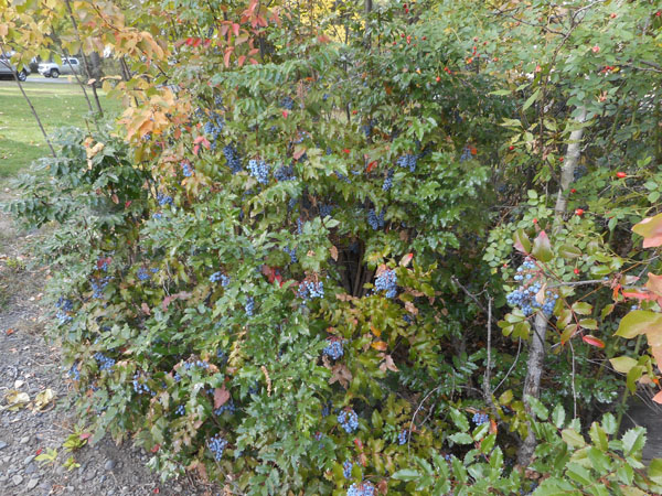
The campground backed on to the John Day River, which had healthy plantings of Oregon grape |
 |
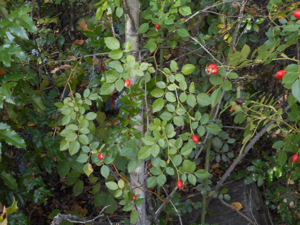
| and roses |
 |
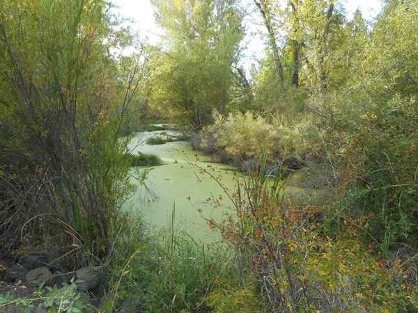
| plus lots of duckweed in little side pools |
 |
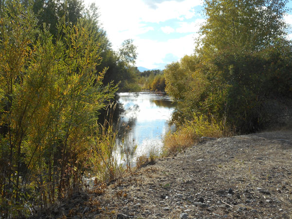
| Roughly a mile of path followed the river's northern bank. Our Florida trip earlier this year had gotten us used to discovering that "logs" were frequently alligators. This time they were, indeed, logs. |
 |
| The path entered some abandoned farmland ... with an Osprey nest |
 |
| (We must've been in the desert too long... Karen's included a number of tranquil river pictures) |
 |
| |
 |
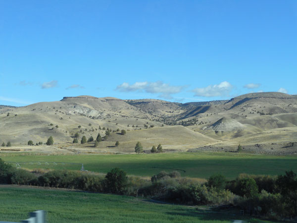
But just across the road we're reminded that this is still the dry side of the mountains.
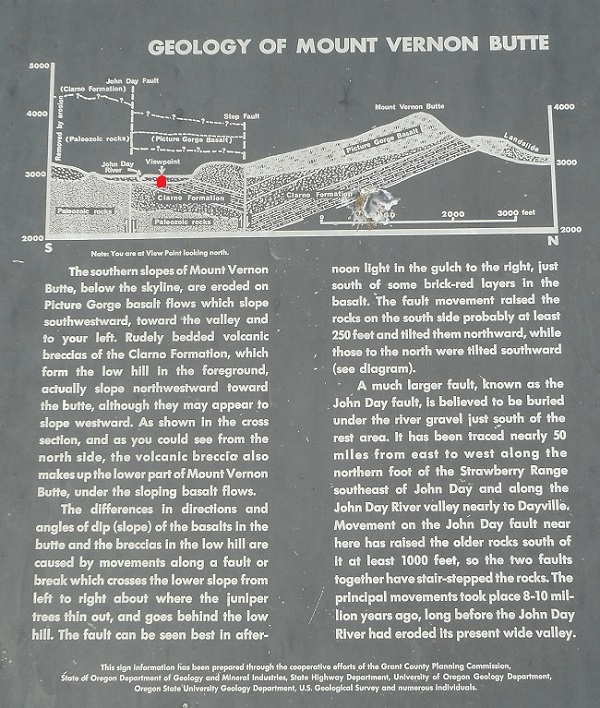
This is Mount Vernon Butte ... we're facing north as we look at it. |
 |
| And the park had an explanation of its geology ... the drawing is as if you were facing East with North to the right. We're standing at the red dot (under the suspicious word "viewpoint"). Geology is a major tourist attraction around here (it got us...). |
 |
| Continuing westward on US 26 gives us well-watered farmland along the river, with the drier hills to the north. |
 |
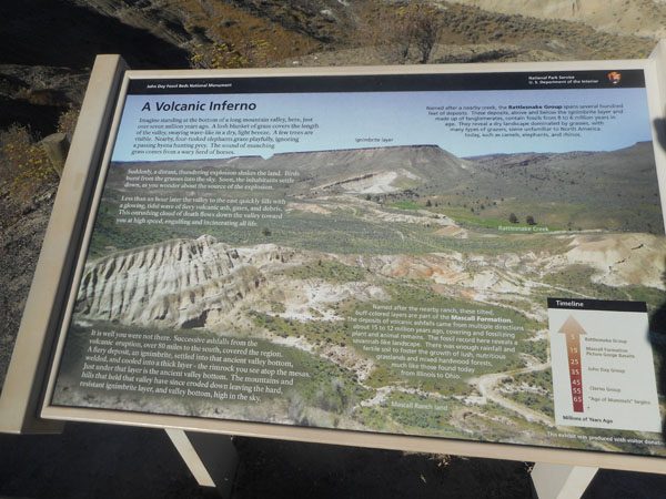
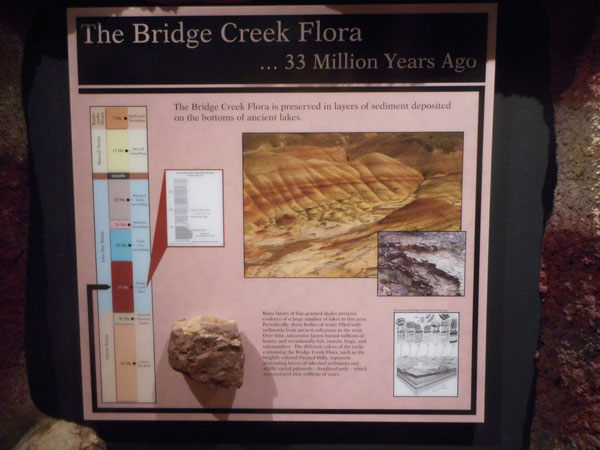
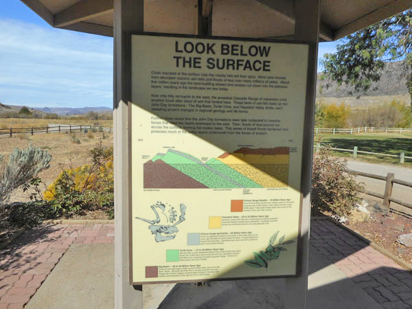
Just before the intersection with Oregon 19, there's a short road up 300 feet or so to an overlook on the south side of the road. It's called the Mascall Formation Overlook.
This sign explains how an eruption 7 million years ago "capped off" the underlying layers with the layer of lava that now forms the flat top of the ridge across the valley.
Prior to that there had been successive eruptions and ashfalls that covered and fossilized the area's plant and animal remains. |
 |
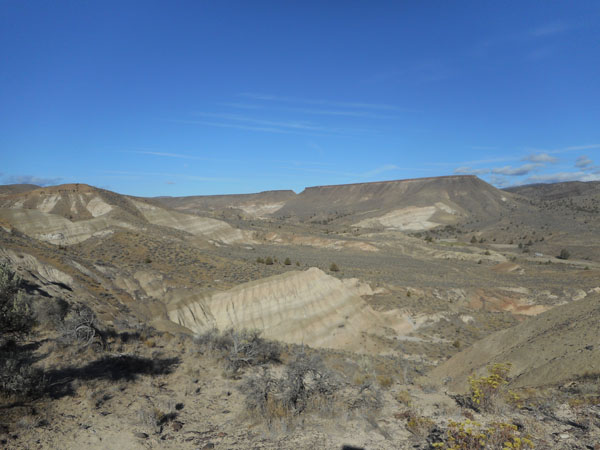
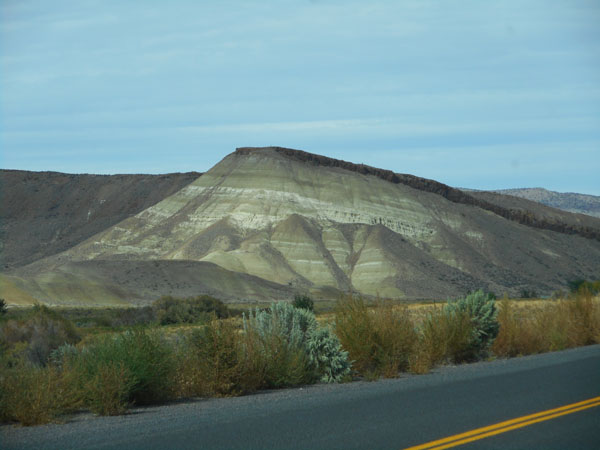
| It provides a spectacular view of Picture Gorge and the Mascall and Rattlesnake formations. The layering can be seen on the exposed face in the center of the photo. |
 |
| About 16 million years ago, the hot-spot that would become Yellowstone was pushing magma up under Yakima and flooding lava across Washington and Oregon. |
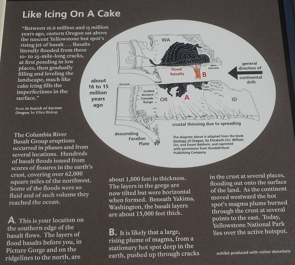 |
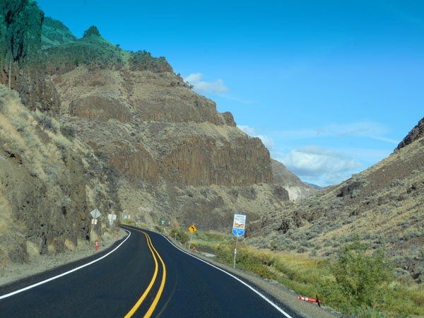
| Through the magic canyon (Picture Gorge) is the Sheep Rock section of the John Day Fossil Beds. That's Sheep Rock itself visible beyond the gap. |
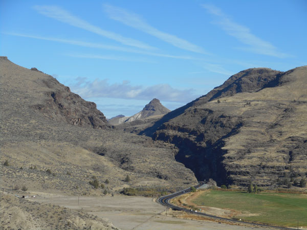 |
| Picture Gorge is incredibly narrow, amazingly steep, and has a T-junction in it. Taking the northern option on to Oregon 19 pops us out into the Fossil Beds Monument. |
 |
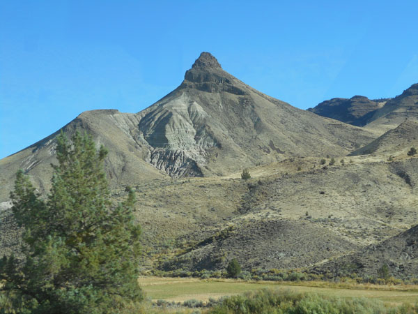
| Where we meet Sheep Rock face-on. |
 |
As a part of our spring 2012 Annular Eclipse Tour we did a more extensive exploration of this Monument.
But we still wanted to drop into the visitor center/museum/fossil research lab to see "what's new that's really old". |
 |
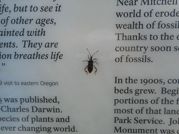
| We arrived a few minutes before they opened (a rarity for us), so we let the night beetle entertain us with his non-moving antic. |
 |
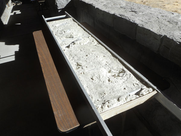
| Around the back was a interesting fossil-digging practice set up ... a bunch of extension ladder sections with the inter-rung gaps filled with fossils embedded in plaster. Each fossil was at a different stage of being gently extracted from the rock-like matrix. |
 |
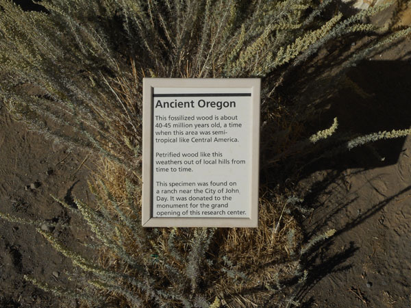
| Petrified wood (that we've photographed before) |
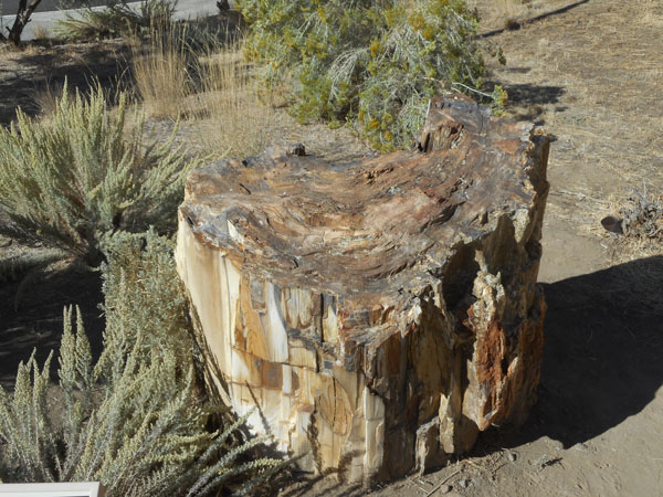 |
| But this time we'll include the sign... |
 |
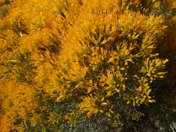
| Colorful flowers Karen hasn't identified yet |
 |
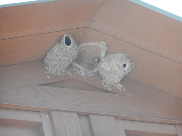
| Swallow nests on the eves of the museum |
 |
Once inside the building we found that they had, indeed, installed a number of new exhibits we hadn't seen only four years earlier. It's a fine museum but we're just going to encourage you to go and see it for yourselves.
(Translation: We could'a sworn we took more pictures inside...)
... And we can now honestly say "Been there, bought the t-shirt". |
 |
| Back down through Picture Gorge and westward on US 26... to and through spectacular formations. |
 |
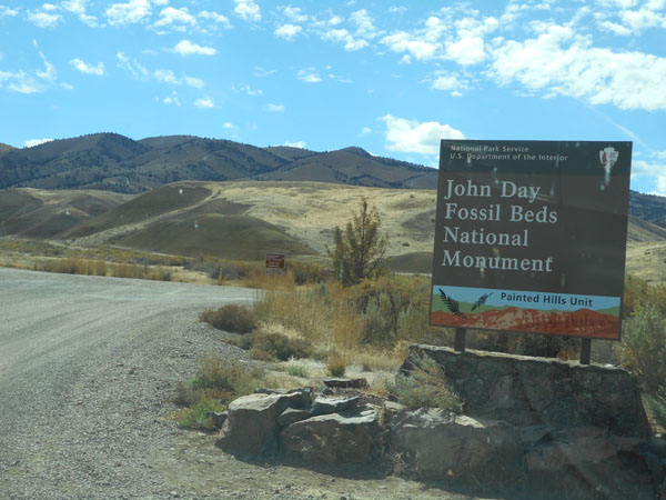
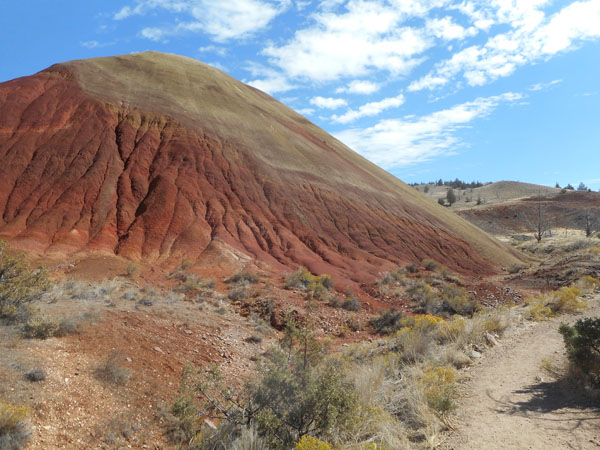
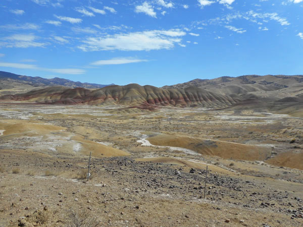
| Onward to the Painted Hills unit of the John Day Fossil Monument. |
 |
| |
 |
| We really lucked out on the weather during this trip... the coast had been high-70s warm, the desert had remained below 80, and now it was almost pleasantly cool... but still sunny. |
 |
| We've crawled through here before, a number of times. |
 |
| But it just keeps drawing us back for a friendly visit... |
 |
| |
 |
| |
 |
| |
 |
| Weeeellll .... maybe 80 feet beyond that point... |
 |
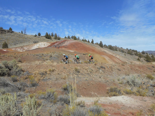
| Cyclists on a photoshoot for a cycle clothing company were an oft-encountered traffic hazard. |
 |
| |
 |
| |
 |
| |
 |
| |
 |
| A helpful sign... |
 |
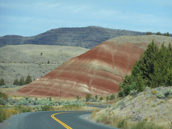
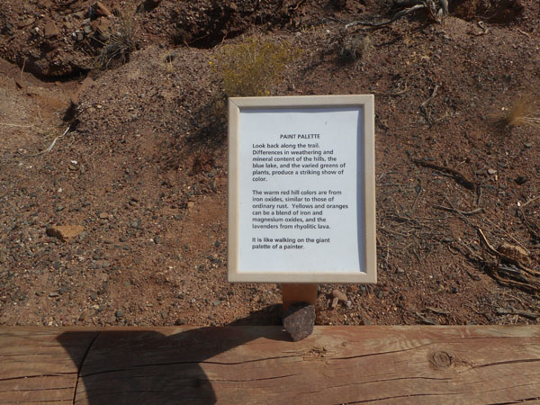
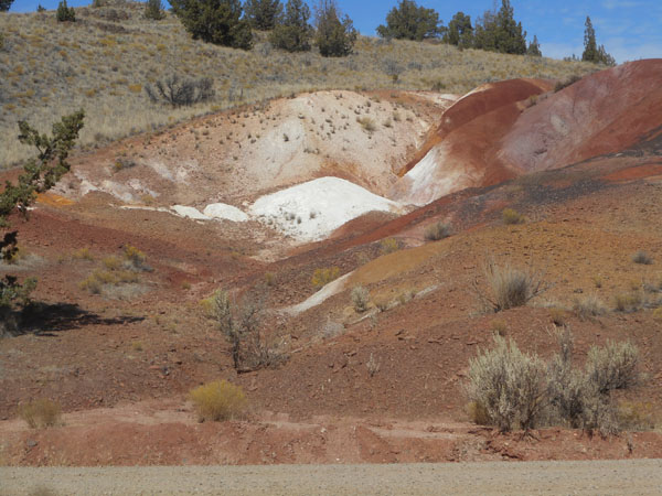
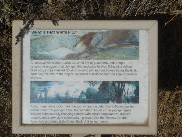
| ... tells us that the thin dark layer on the top of the ridge is another example of erosion-resistant Ignimbrite about 28 million years old, that the bulk of the layered ridge is not much older, and that the painted hills standing before the ridge are roughly 28 to 39 million years old. |
 |
| From the Painted Hills we continued westward on US 26 ... and finally reached Prineville for a rather late lunch. We switched to Oregon 126 towards Powell Butte and Redmond. The route west from Prineville steeply climbs to this overlook, and then levels out along the top of Grass Butte. |
 |
| Looking out northeastward to the Crooked River valley, the start of the Crooked River National Grasslands and the Ochoco National Forest in the distance. |
 |
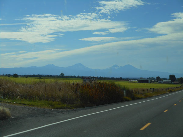
| Or ... we can face forward (and a little southwest) to see the Cascades. Quite a bit of discussion in the car revolved around which peak was who. We suspect that the pair on the right with the bowl of glacier ice are North and Middle Sister (both a bit over 10,000 feet), then South Sister (10,358) and Broken Top (9175). We're buzzing along at about 3000 feet. |
 |
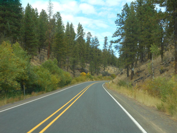
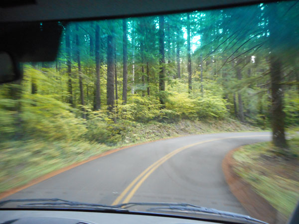
| We reached the quaint town of Sisters (which has certainly expanded over the 30 years we've been passing through). We could find no sign of the theoretical powered campground in the town, so we continued on the old McKenzie Highway (Oregon 242) to the Cold Spring National Forest campground, about 4 miles further on. |
 |
| We actually drove by it (by about 100 feet), then U-turned (lack of traffic and the Sprinter's short turning radius wins again!) and dropped in. |
 |
| Tall, stately ... and almost empty. It had a very nice "feel". |
 |
| A couple of turkey buzzards circled our camp (ever hopeful) |
 |
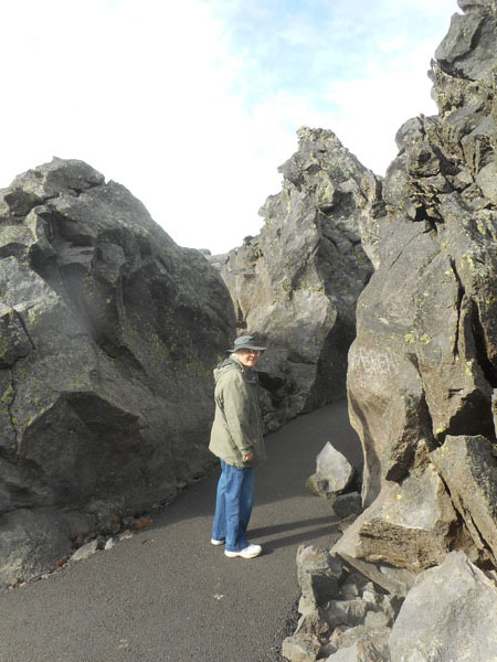
The next morning we were out bright and early (we're quicker when we're not cooking oatmeal with the microwave), and continued out and up on the McKenzie Higway. The road had signs restricting passage to vehicles less than 25 feet long. The road narrowed. It started weaving between very road-intrusive tall chunks of basalt.
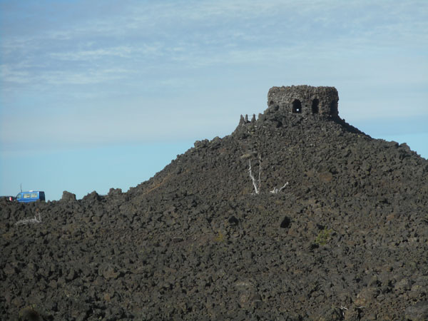
Finally we emerged at the top of the 5325-foot-high McKenzie pass... at the Dee Wright Observatory. |
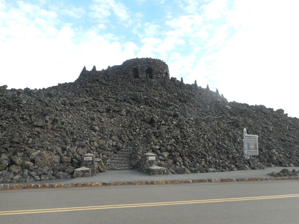 |
| The tower was built out of the surrounding area's available lava chunks by the CCC here on the crest of the Cascades. The Pacific Crest Trail crosses the 1860 McKenzie road here, too. |
 |
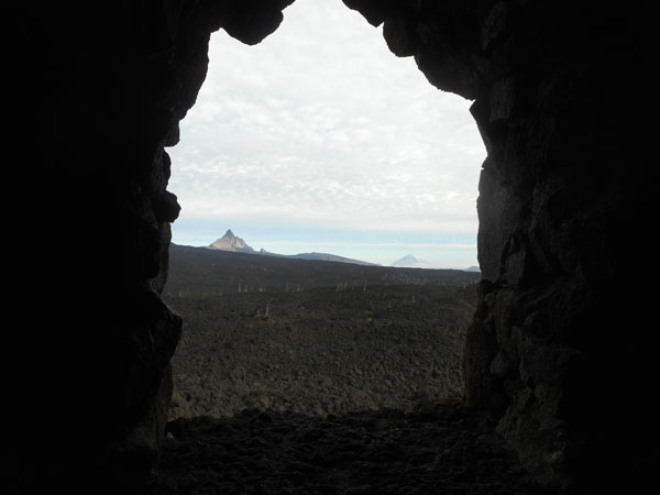
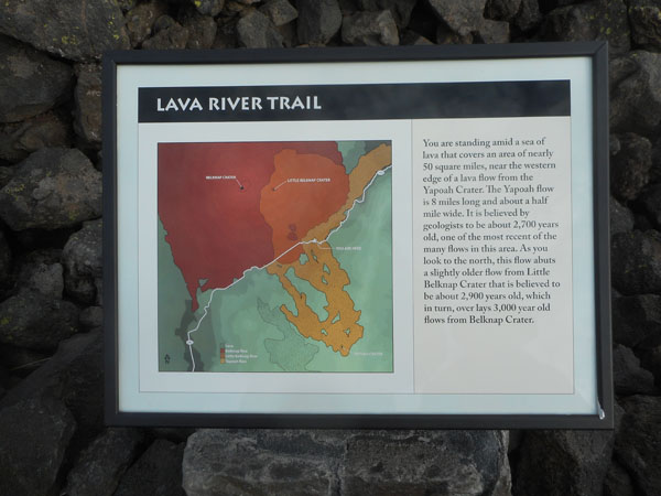
The tower's windows are carefully aligned to highlight the surrounding Cascade peaks, which did their bit by contributing some the lava millions of years ago. Radiocarbon dating places some of the eruptions as recent as 400 years ago from the nearby Yapoah and Belknap (1600 years ago) craters.
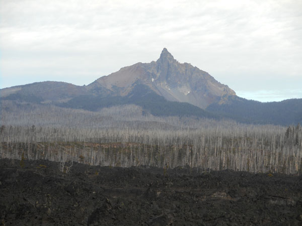
That's Mt Washington on the left, and Mt Jefferson, 30 miles away, on the right.
Mt Hood (78 miles away) can be seen on truly clear days .. it has its own small private window. |
 |
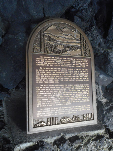
| Inside the tower was a time-worn inscription on one of the wall's rock ... and this adjacent duplicate in bronze. |
 |
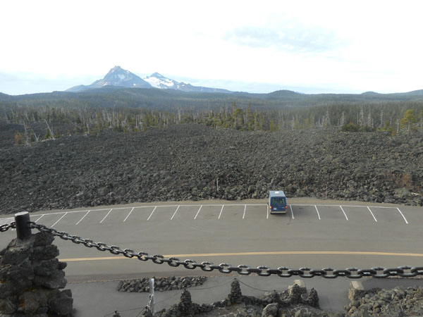
| On top of the tower there's a "peak finder" compass, and an unrestricted view. |
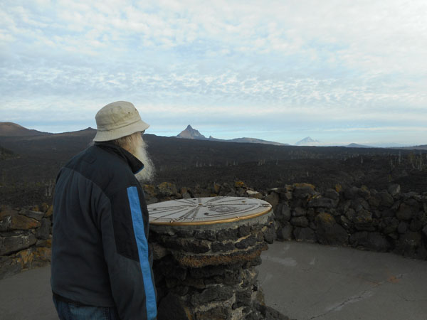 |
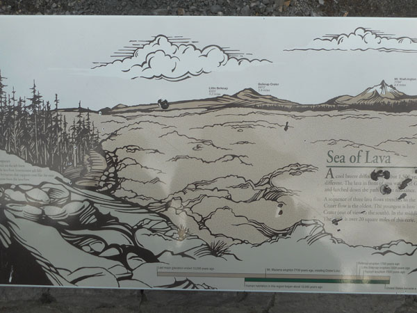
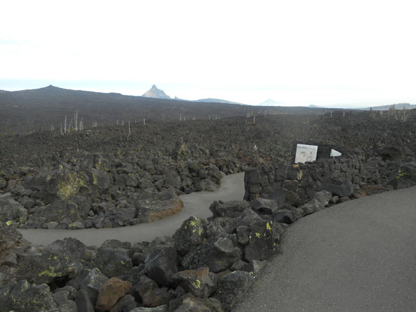
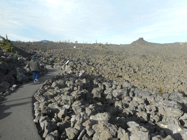
| Surrounding the tower is a "sea of lava"... |
 |
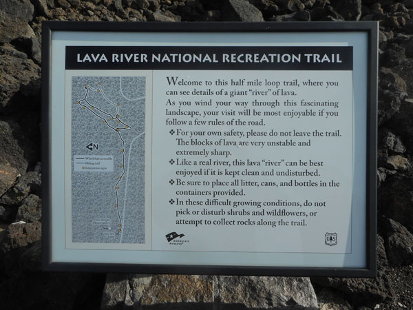
| With a newly-paved trail wandering through it. |
 |
| When we were last here the paved trail was mostly in place, but the signs hadn't arrived yet. |
 |
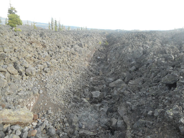
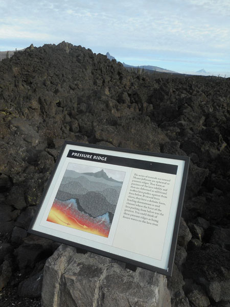
| This site is a meeting point of many lava flows. |
 |
| Specific features or characteristics got their own signs ... |
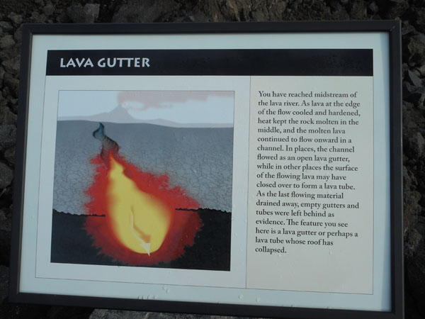 |
| ... next to the reality. |
 |
| |
 |
 |
 |
| Ummm... was that meant for me? |
 |
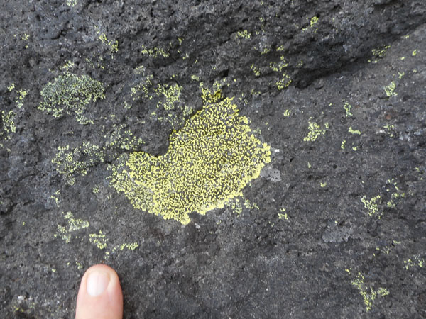
| Life on the rocks ... |
 |
| The Dee Wright Tower (and our Sprinter) |
 |
| |
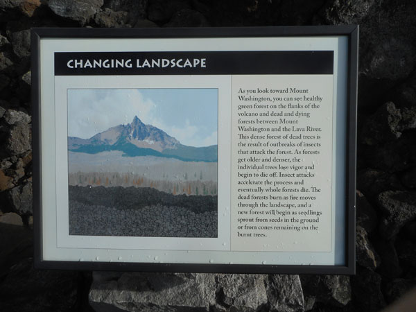 |
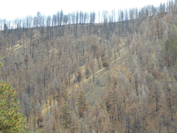
| 30 years ago that dead forest was green. Warmer climate-enabled insect infestations have wiped it out. |
 |
| The world crammed a lot of lava geology in this half-mile loop trail. |
 |
| We head west again... pausing at the slope of the Belknap Crater. |
 |
| And then we drop .... heading west along the McKenzie Hwy we zigzag from 5,300 ft down to 2,000 ft in just a few (very curvy) miles. |
 |
| We meet up with Oregon 126 and pick up a chicken/artichoke sub sandwich in Springfield. Then we craaaawl through Eugene. A few miles west of Eugene we pull into a parking spot next to the Fern Ridge Wildlife area on the south end of Fern Ridge Lake and have lunch. So did a white heron. |
 |
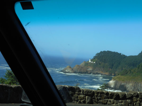
| Then it's a pleasant forest-and-river weave-and-wiggle back out to the coast at Florence. Here's the light at Heceta Head, about 10 miles north of town on US 101. |
 |
| A tad north of that, we pull into the Carl G Washburne Oregon State Park. |
 |
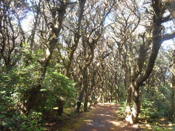
| Which has a few delightully moss-filled trails... |
 |
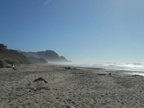
| ... out to the beach. That's Heceta Head in the spray. |
 |
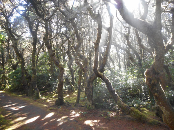
| We wandered back into the trees to enjoy the play of the light. |
 |
| We're not sure if this means you can be "cubbed" or "smoked"? |
 |
| During the summer, this is an all-sand beach. In the winter the current take the sand away and it becomes pebbled with the rounded basalt rocks that are beginning to appear in this season of transition. |
 |
| Back into the lush forest. |
 |
| A crowd (murder?) of beachcombers... |
 |
| ... at work. |
 |
| Now we've got the morning light... |
 |
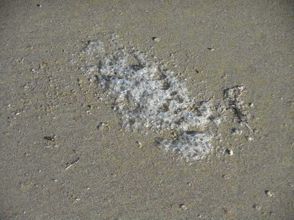
| with irridecent foam |
 |
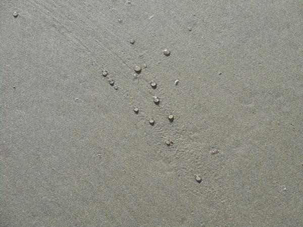
| tiny jellyfish (about 1/2 inch) |
 |
| and pattern in and on the sand |
 |
| The tide has been in, and has left... |
 |
| ... sweeps of some plastic in the sand |
 |
| in a distinct layer |
 |
| foggy morning light |
 |
| much foggier than the previous afternoon. |
 |
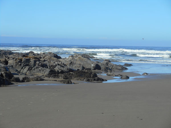
| So we dropped into Stonefield Beach Rec Site... |
 |
| .. which did have stones. |
 |
| Rising above the South Beach Marina just before Newport |
 |
| Gee, these pillars look familiar... |
 |
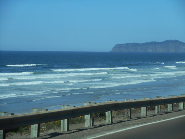
Cape Lookout from Tierra del Mar.
On our way south, we'd followed US 101, the inland short-cut between Tillamook and Nestucca Bay. On this northbound trek we took our usual waterside "Three Capes Scenic Loop". This is why. |
 |
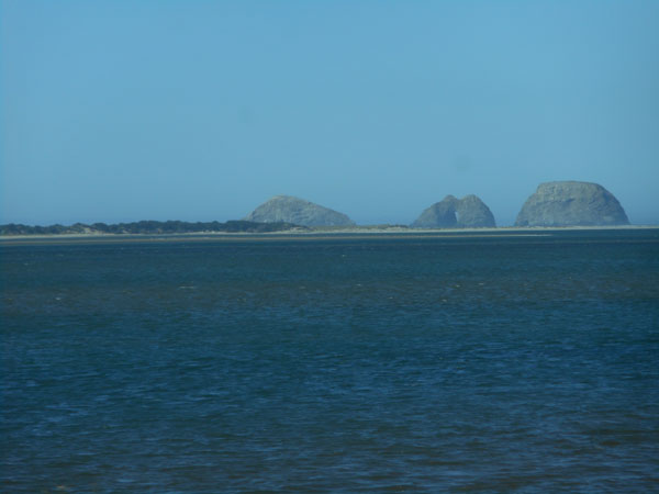
| On the north side of Tillamook Bay, we (again) looked south towards Three Arch Rocks. |
 |
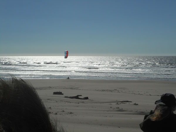
Ten miles north of Garabaldi (which had the Bar View park), we stayed at Nehalem Bay State Park. We'd hoped to stay at Oswald West, but they'd closed the campground semi-permanently due to limbs falling from the trees.
This shot doesn't make it look very scenic, but the Sprinter is backed up to the tree-covered dune ... |
 |
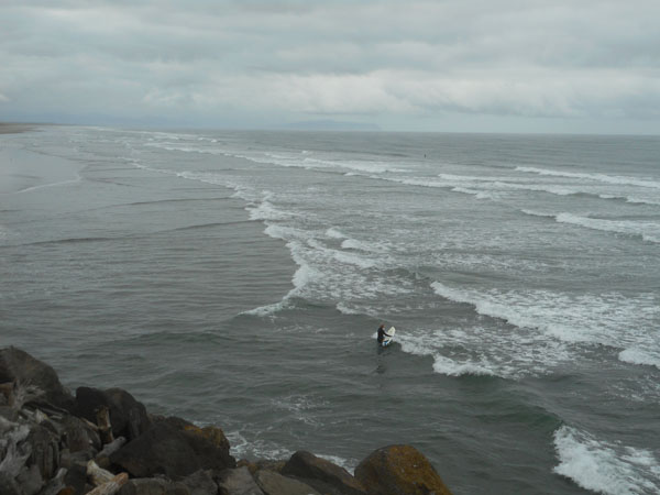
| ... which had a path to the beach. With a kite-surfer. |
 |
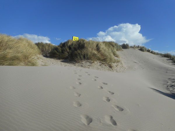
| All along Oregon's shore, the "official" pathways were visibly numbered. |
 |
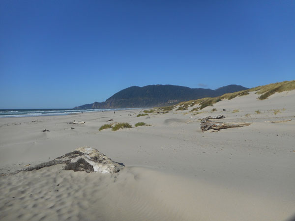
| That headland has the high viewpoint from which we shot a photo of this Nehalem Beach on our way south. |
 |
| There may be a busy campground beyond that rise, but it's certainly not obvious. |
 |
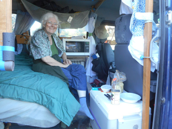
| In case you've been curious about how we live in the Sprinter, here we are getting set up for dinner ... a salad enhanced with a can of julienned beets. |
 |
The next morning was much more overcast. We oatmealled and headed north. Instead of veering over to Astoria, we kept on the coast and visited Oregon's Fort Stevens State Park. From there we reached Clatsop Spit, the northwesternmost tip of Oregon and the Columbia River's South Jetty.
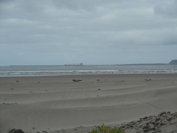
Here we're on a tower on the spit, looking back south along Columbia Beach and the ocean. |
 |
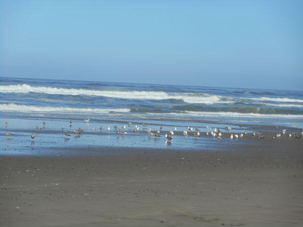
| ... and we were greeted by pelicans! |
 |
| There was a surfer or two |
 |
| |
 |
| Looking northish along the jetty ... Washington can be vaguely glimpsed to the right of the rocks. |
 |
| Walking out to the beach on the Columbia River side of the jetty revealed Cape Disappointment's jetty and river traffic. |
 |
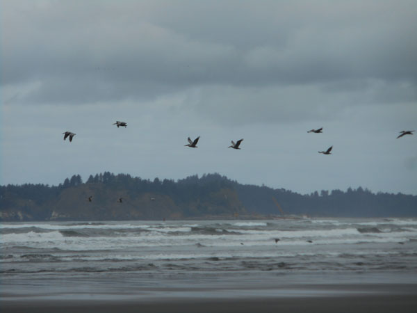
| And pelicans coming overhead in ones and threes... |
 |
| Pelicans land hard and then walk |
 |
| It turned out to be a pelican beach! |
 |
| You'll have to excuse us while we knock off a few dozen shots... |
 |
| It's all too flat |
 |
| Looking back towards the low hills and ridges of this end of Oregon. |
 |
| |
 |
| The bridge to Washington... so we went back across and took a slightly different route. Instead of hopping on US 101 again, we went straight(ish) north from the bridge along Washington 401. That goes on the east side of the Bear River Ridge and joins Washington 4 in Naselle, then follows the Naselle river north to meet US 101 further up. Which took us up to Montesano again. But then we turned off Washington 8 at Satsop to head north into the (for us) unknown wilderness... |
 |
| Ok, ok... farming, ranching and timber country to Washington's Schafer State Park kind'a on the road to Matlock. |
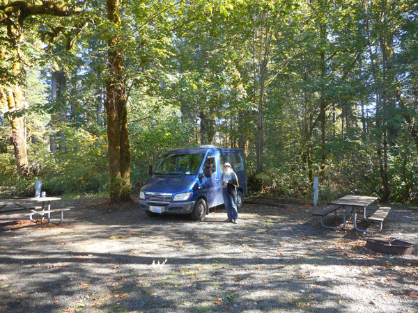 |
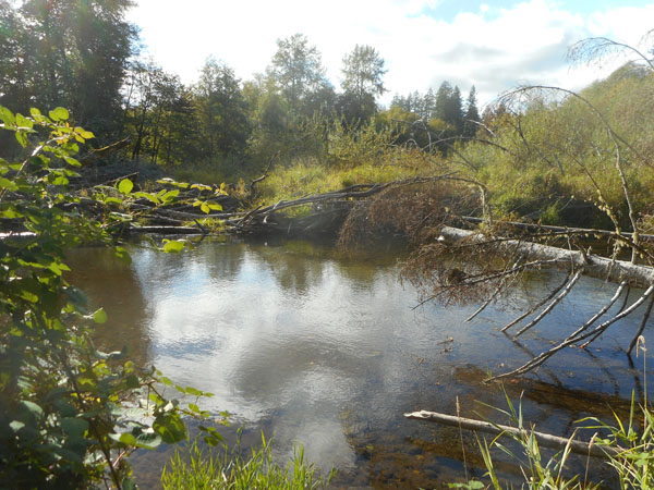
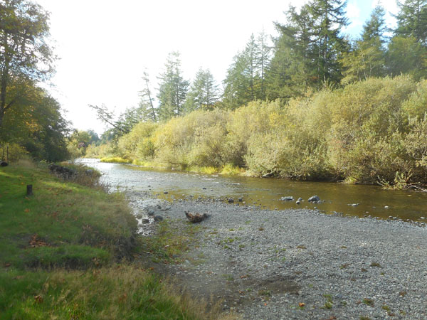
It was lovely... there may have been one other party somewhere in the park, but we didn't see them.
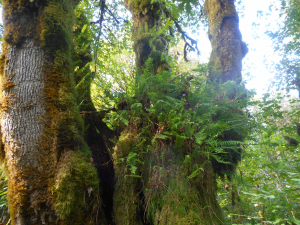
Fern-y trees, |
 |
| a tranquil river |
 |
| |
 |
| It originally started as donated land from Mr Schafer's timber company, then had buildings erected by the WPA and CCC. |
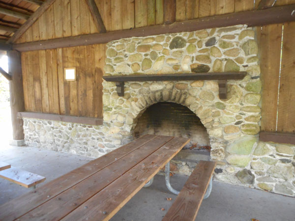
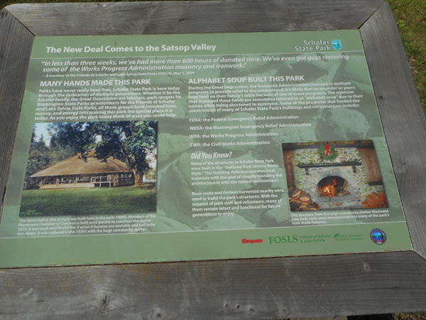 |
| Time and weather have taken their toll, but the stonework remains. (The building surrounding this fireplace was half-knocked down in a recent storm. There's no wall behind us) |
 |
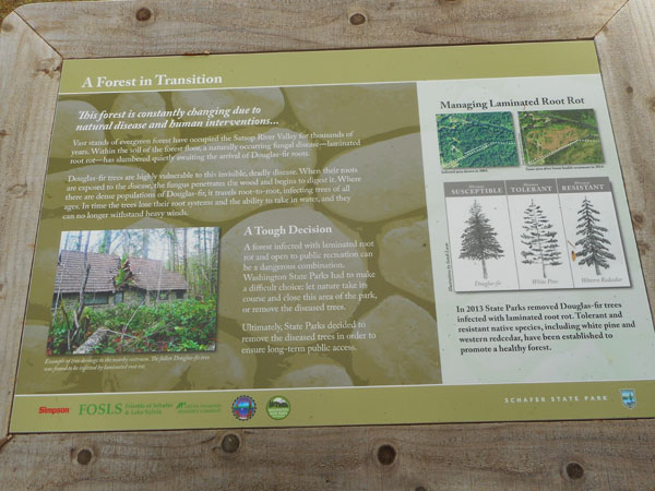
| The park spans a road... one side is the campground, the other is the day use area. There was a stand of trees behind the day use, but Douglas Fir root rot was killing them, so it was cleared. White pine and western red cedar have been planted to replace them. |
 |
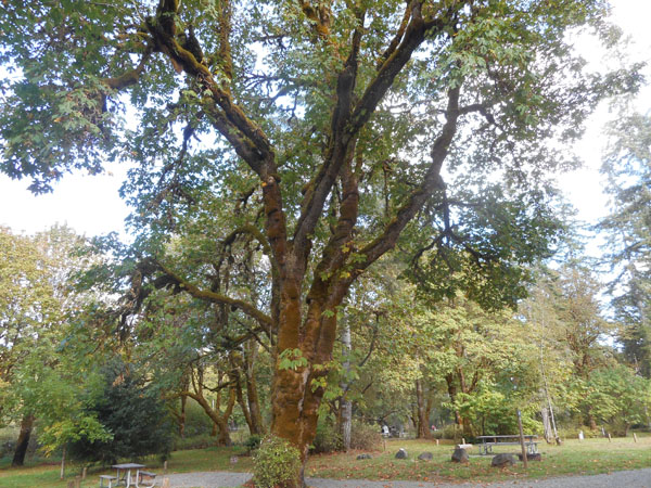
| Grand trees still remain. |
 |
The next day dawned(?) fairly gray, damp and drizzly. Even so, we decided to cut eastward across the peninsula and take the east half of US 101 up the Hood Canal to the Hood Canal bridge. When we reached Shelton, we discovered that we couldn't get on 101's bypass... we had to crawl through all of Shelton to join it north of town.
Then it was a (typical?) wet and windy toot up along the canal. Which is fun in its own right when there's as little traffic as there was. |
 |
| Then it was over the Hood Canal bridge, and the choice to drop down to Bainbridge Island to catch that ferry ... which we just missed. We watched it sail around the point... |
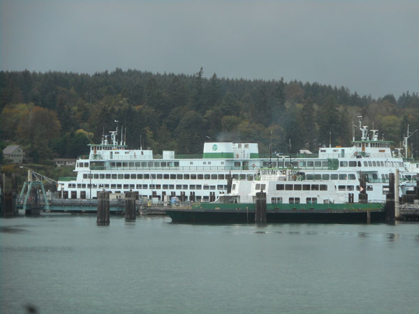
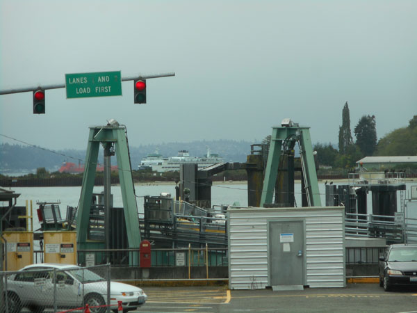 |
| We had an hour to study the adjacent ferry fleet. |
 |
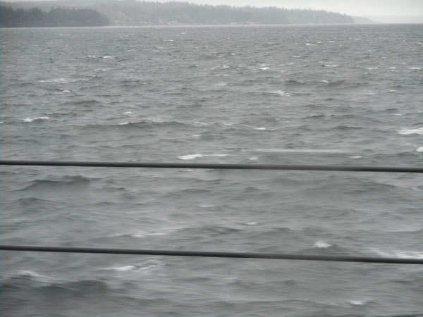
| Having boarded, the view eastward wasn't too stunning (foam from the vessel keeping itself rammed to the pier). |
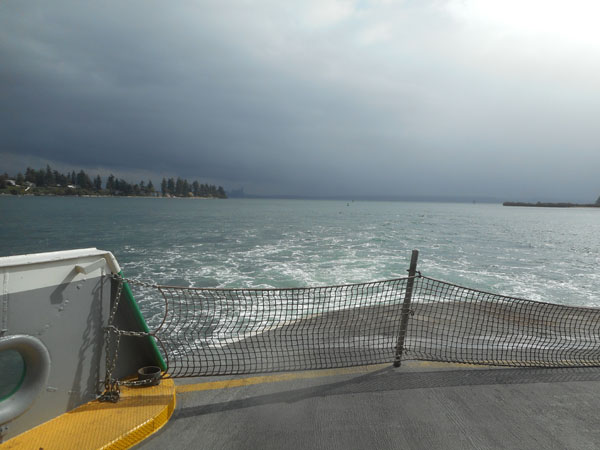 |
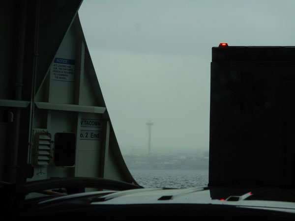
| We finally cast off and headed towards Seattle. Eventually this strange shape loomed out of the mists. |
 |