Travels with Dick and Karen

SW USA 2010


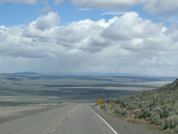
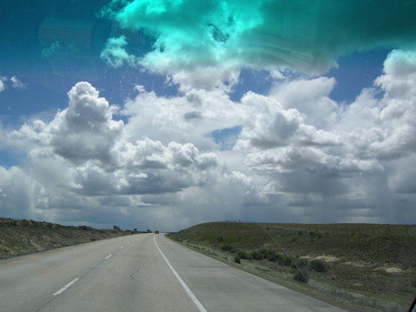
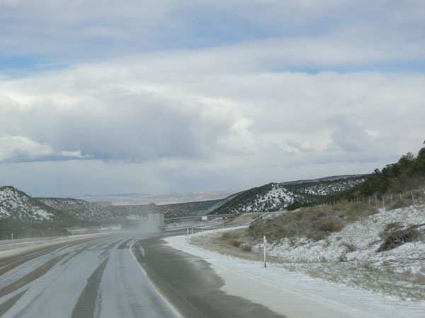
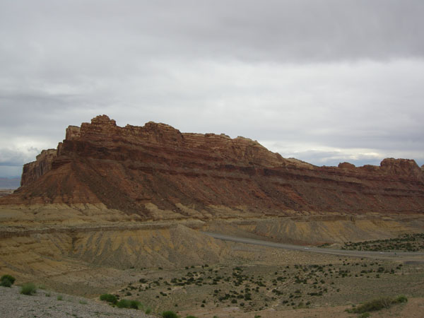
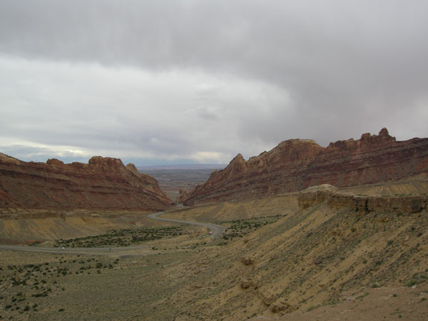
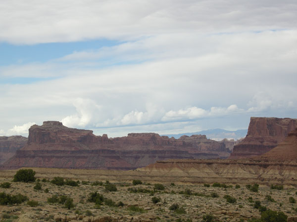
We drove from Seattle to the Moab Utah area and back mid-April to mid-May 2010. In 2017 we finally put up the photos so we're doing the travelog from dimmer memory than usual. After staying with friends in Protland we drive across Oregon and ID. Two days of fantastic clouds.


sw us 2010

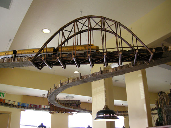
Dinner at Foley Station restaurant in La Grande: interesting train all around ceiling and good food (now closed).

sw us 2010
Turned south into UT and ran into the edge of a blizzard as we passed through Salt Lake. sw us 2010

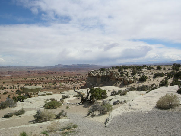
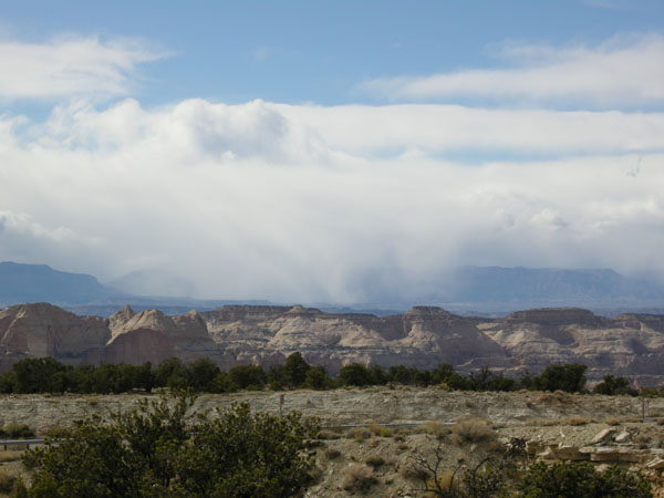
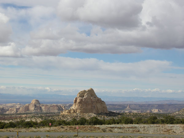
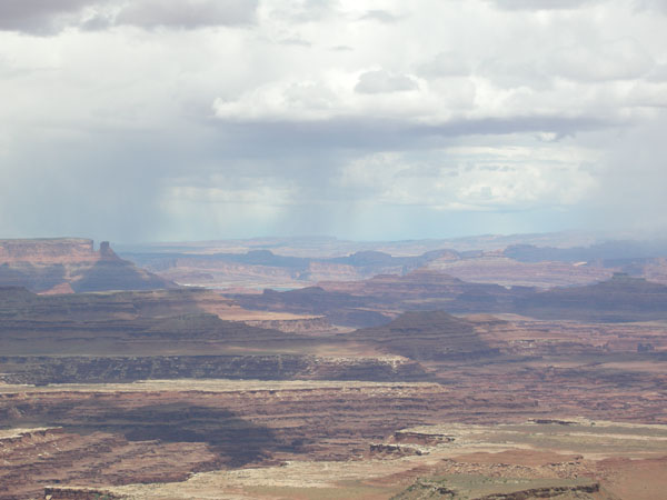
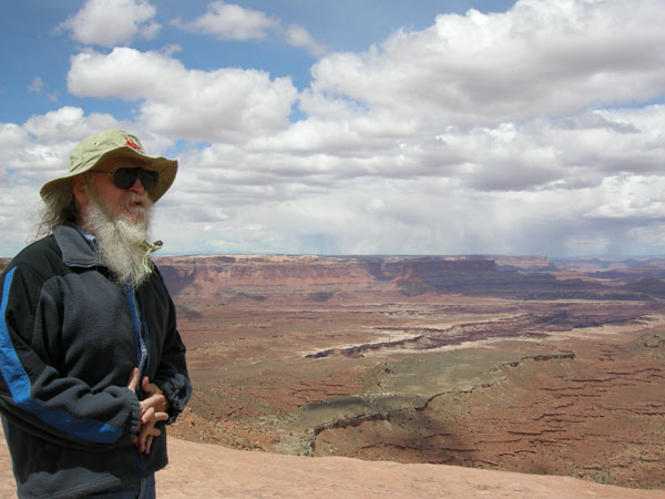
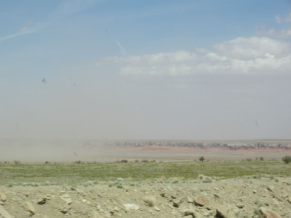
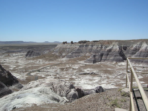
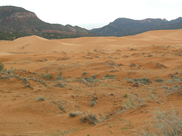
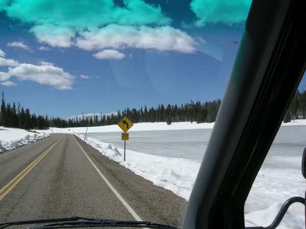
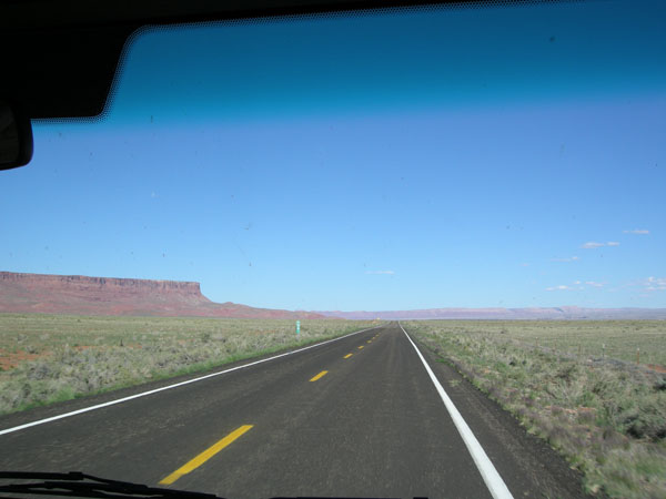
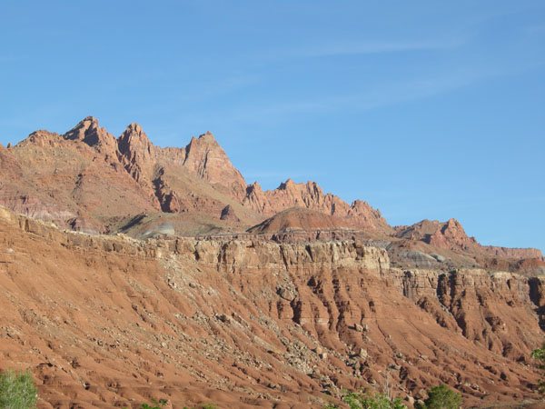
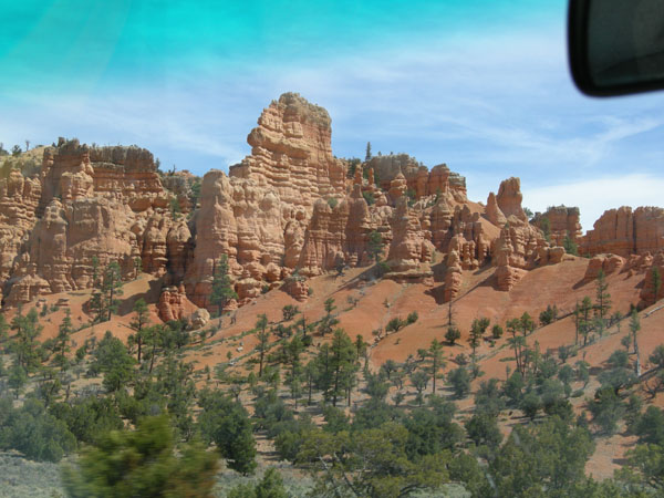
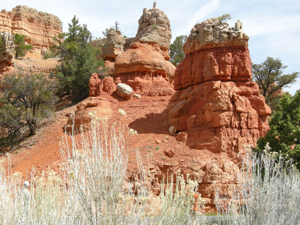
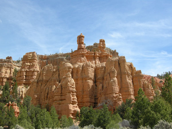
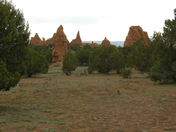
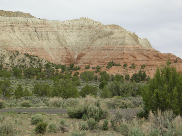
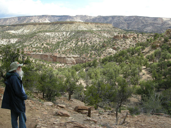
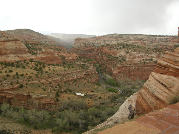
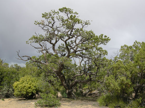
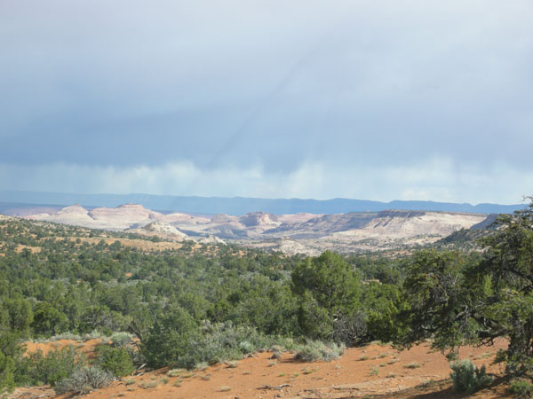
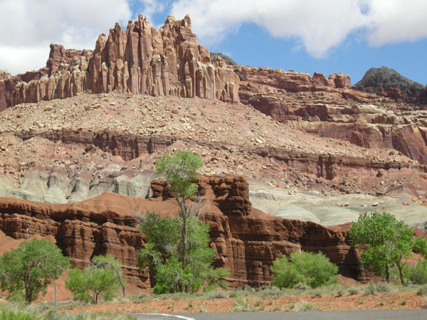
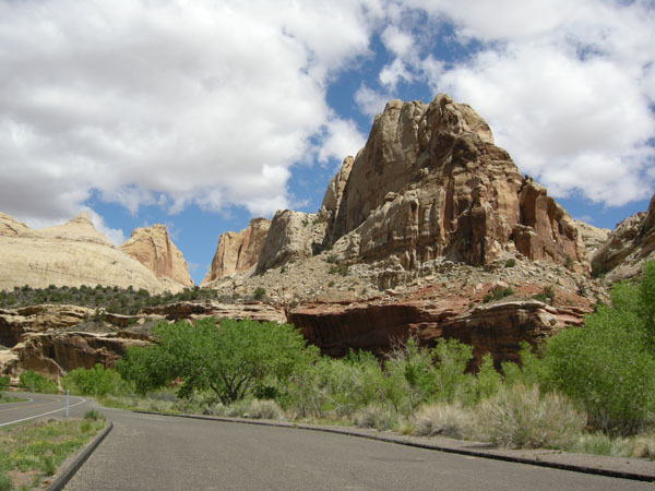
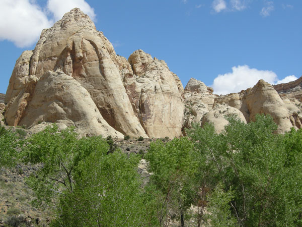
Ah.Finally the warm and dry we came for.

sw us 2010
  sw us 2010
  sw us 2010
  sw us 2010
  sw us 2010
  sw us 2010
Spent the night at Goblin Valley State Park sw us 2010
With lots of HooDoos sw us 2010
  sw us 2010
Wild onion sw us 2010
continued east across UT toward Moab sw us 2010
  sw us 2010

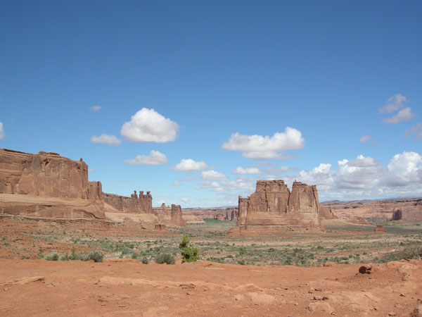
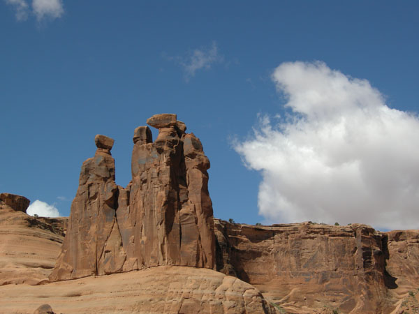
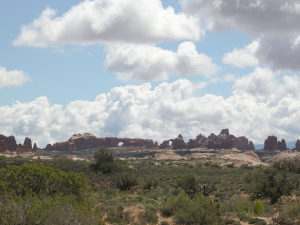
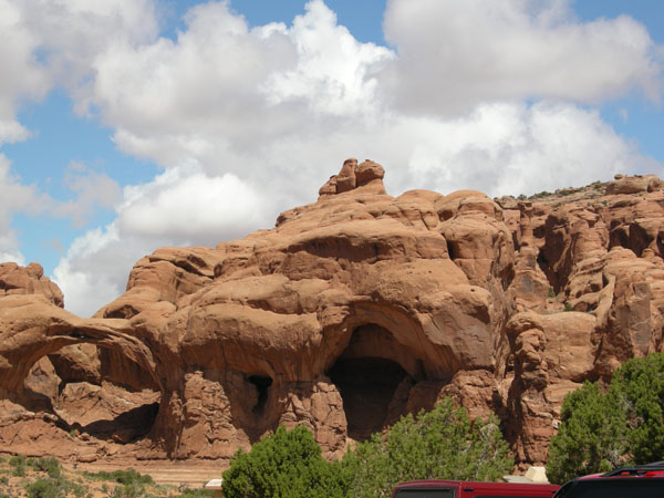
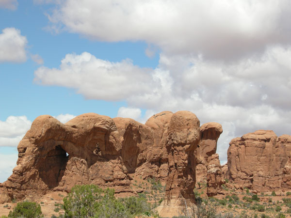
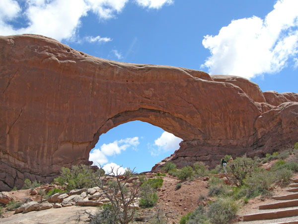
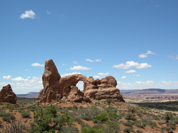
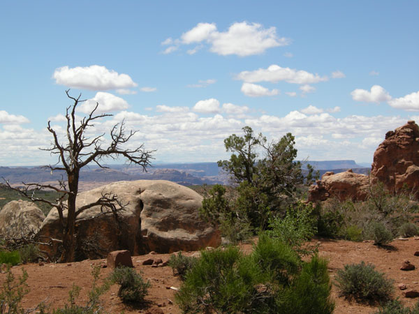
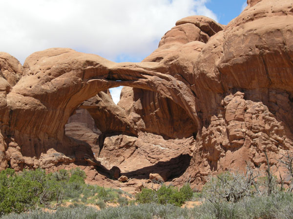
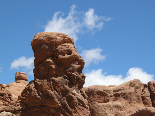
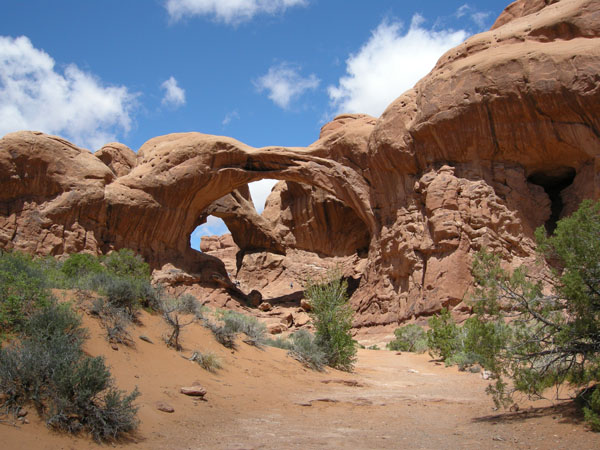
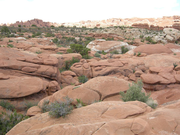
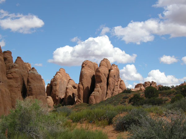
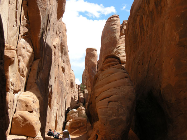
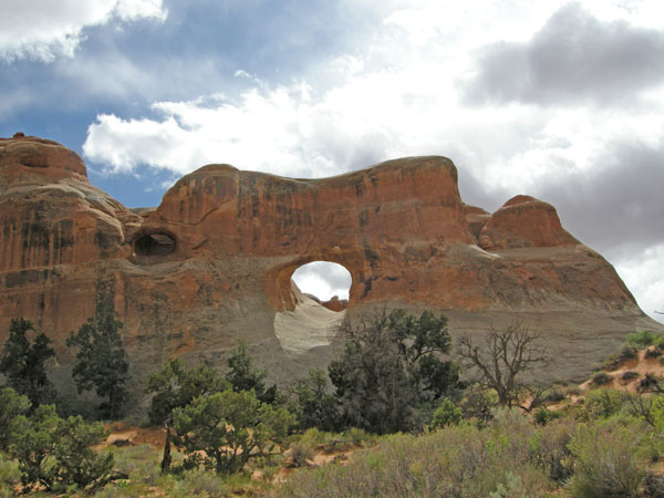
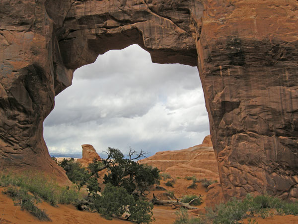
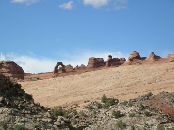
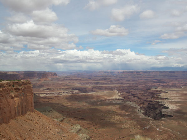
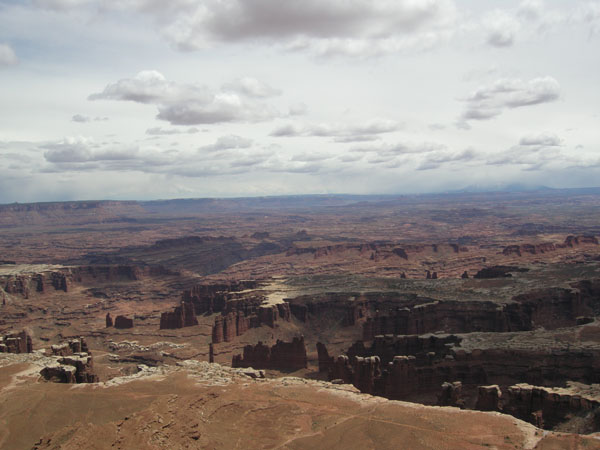
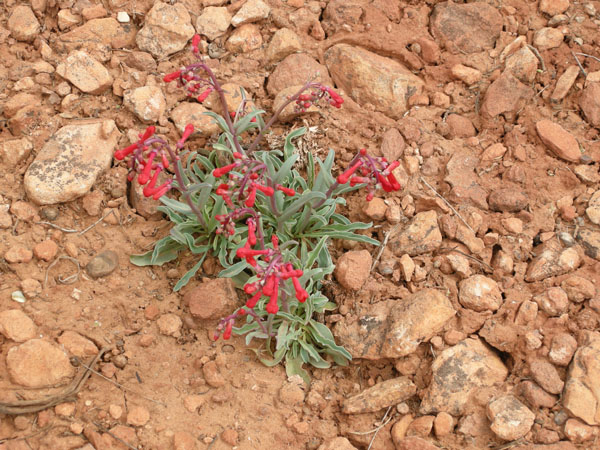
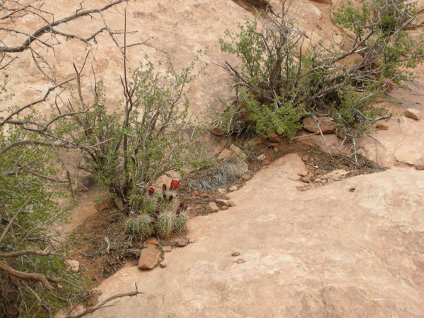
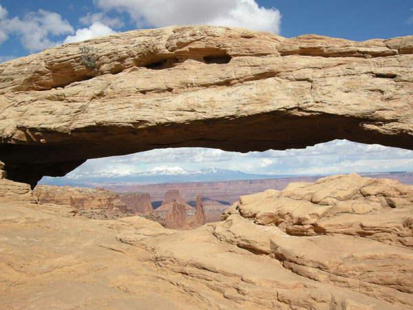
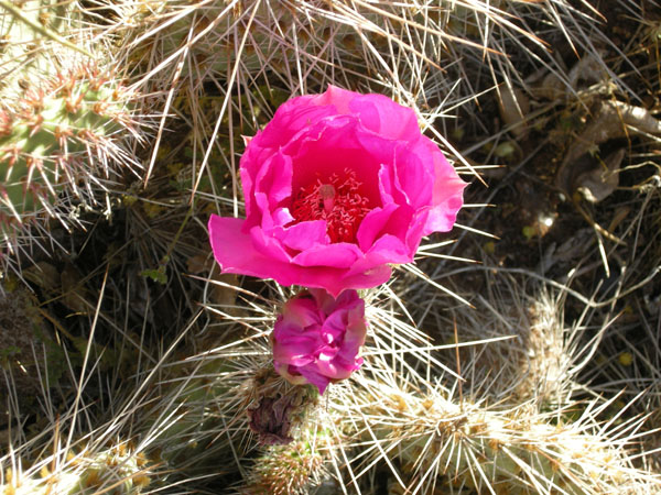
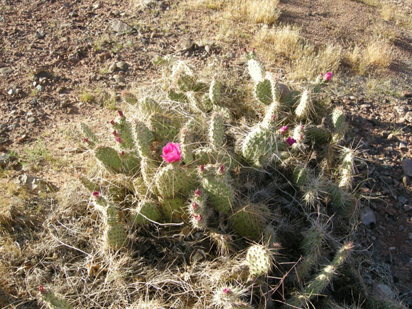
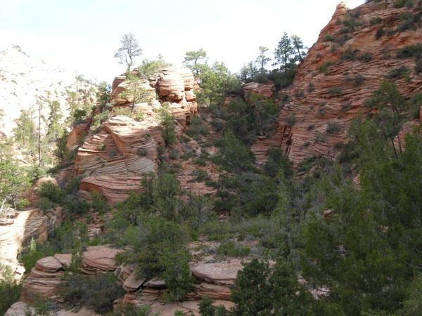
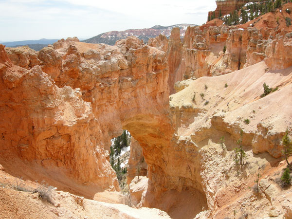
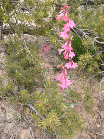
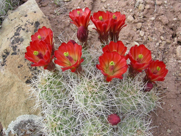
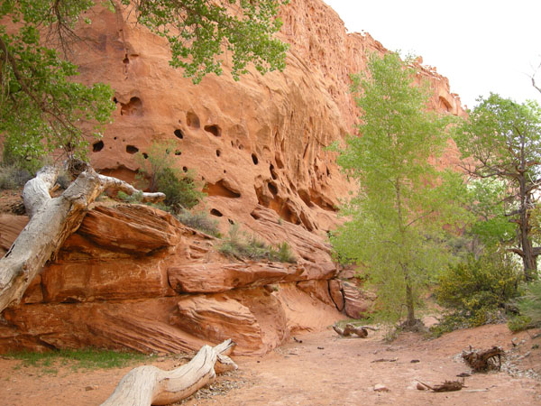
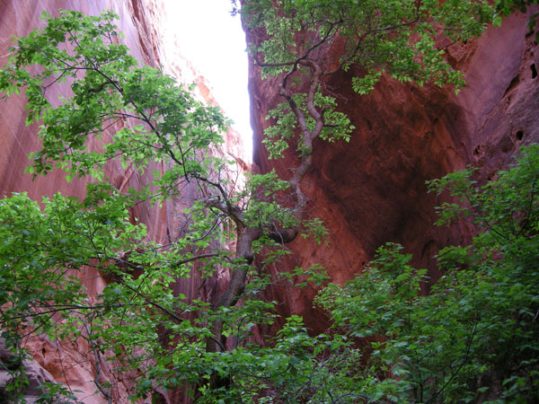
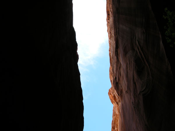
Into Arches National Park

sw us 2010
  sw us 2010
  sw us 2010
  sw us 2010
  sw us 2010
  sw us 2010
  sw us 2010


sw us 2010


sw us 2010
The maze of columns needs a guide. sw us 2010
  sw us 2010
  sw us 2010
  sw us 2010
  sw us 2010
  sw us 2010
  sw us 2010
  sw us 2010
  sw us 2010
Deadhorse Point in Canyonland National Park just SW of Moab. This is the Colorado River doing a hairpin turn or "oxbow" (upstream of the Grand Canyon). sw us 2010
  sw us 2010
Canyonlands plateau is "Island-in-the-sky" overlooking some needles. sw us 2010
  sw us 2010
  sw us 2010
  sw us 2010
Penstemon sw us 2010
A little crack gathers organic material and pretty soon you have enough soil for plants to grow. sw us 2010
  sw us 2010
Canyonlands has arches too. sw us 2010
  sw us 2010
Deadhorse in different light and not as windy as the previous day. sw us 2010
mini-arches sw us 2010
  sw us 2010
Bright blue lakes are potasium mine evaporation ponds sw us 2010
lizard sw us 2010
Grainery from older times. sw us 2010
A current native. sw us 2010
Claret Cup cactus sw us 2010
Camp at Needles Outpost. sw us 2010

If you are in this area be sure to stop at the Dinosaur Museum in Blanding (don't seem to have phptos).

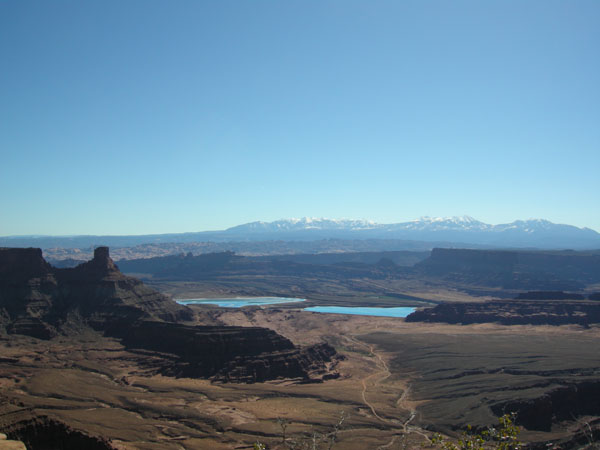
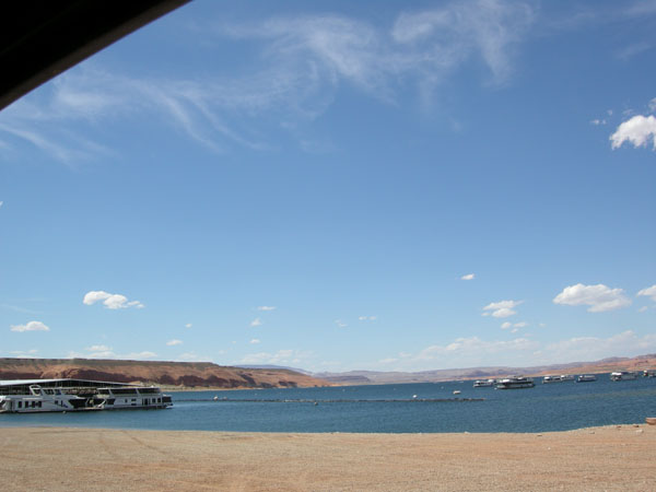
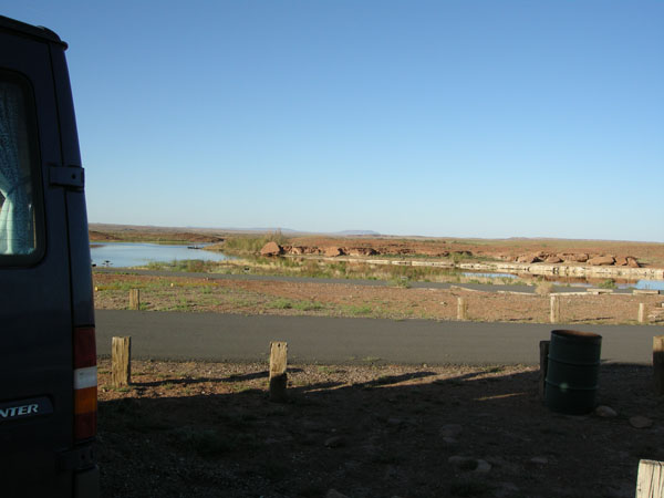
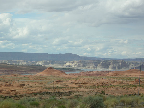
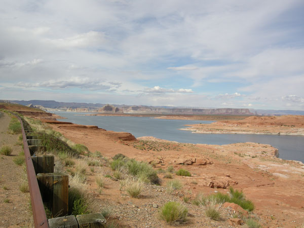
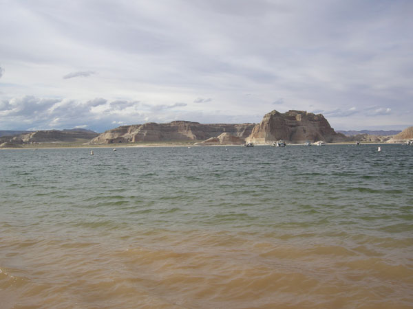
On to Hall's crossing, Lake Powell. House boats are not something that makes me think "Utah".

sw us 2010
Share the road. sw us 2010

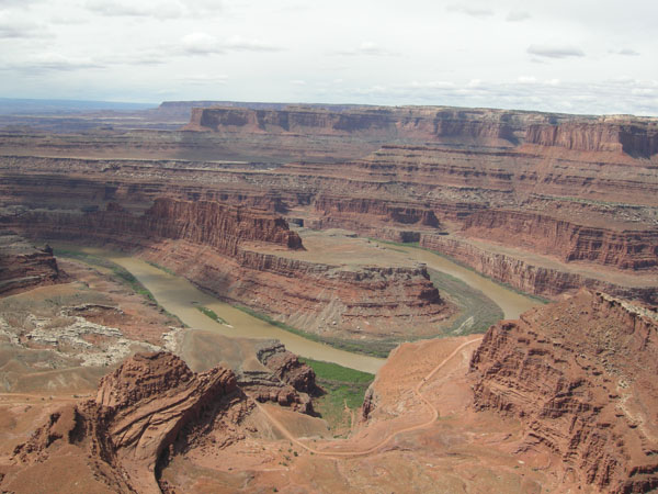
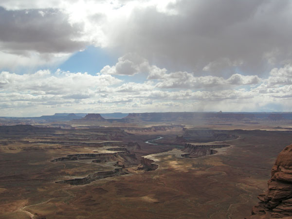
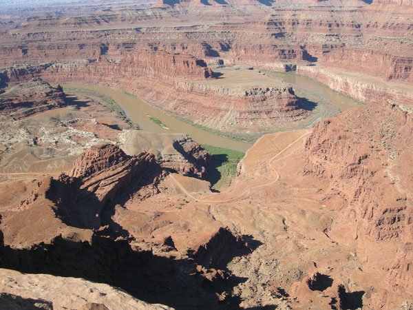
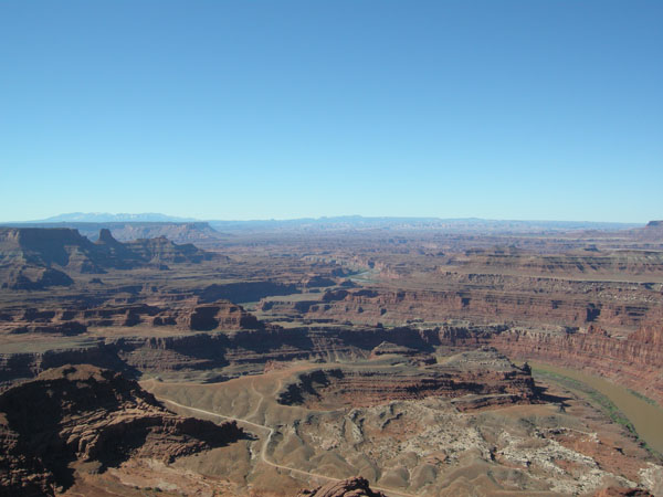
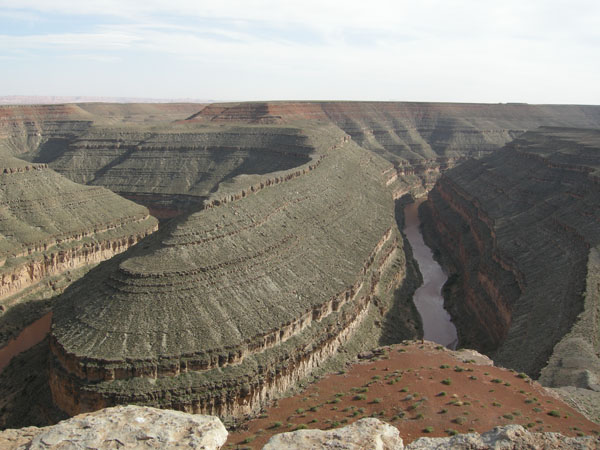
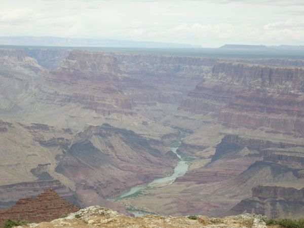
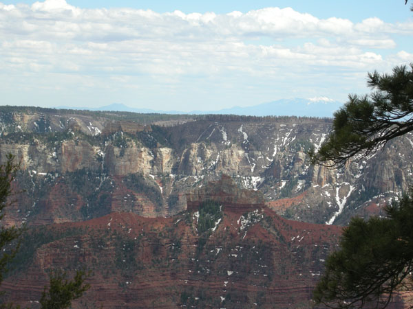
Goosenecks St. Park: another hairpin turn for the Colorado

sw us 2010
Drove down the Moki Dugway into Monument Valley (far too bumpy on the rollecoaster of gravel to take photos but the view was fantastic). sw us 2010
Small dust devil swirls by as we go south into Arizona. sw us 2010
Petrified Forest National Park, painted hills sw us 2010
And lots of petrified logs. sw us 2010
  sw us 2010
  sw us 2010

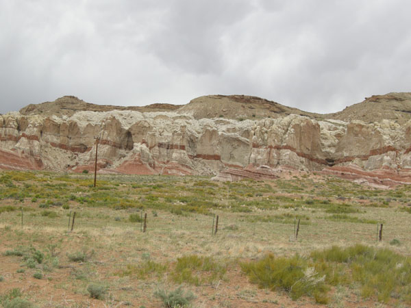
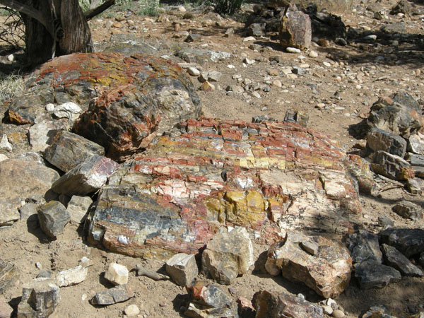
Piles of stone instead of wodd for posts.


sw us 2010
  sw us 2010
  sw us 2010
  sw us 2010
Painted hils areaagain sw us 2010
Flooded campground at clear creek reservior. sw us 2010
Doing dishes sw us 2010
Meteor crater just east of Flagstaff. sw us 2010
They don't let you go down in it but they have this photo backdrop so you can pretend. sw us 2010
Cinder cone near Flagstaff (Sunset Crater?) sw us 2010
It had nice lava nearby too. sw us 2010
Pecaries crossing the road. sw us 2010
Lava River Cave: too icy and steep for us. sw us 2010
Witches broom? Or some sort of parasite on the tree. sw us 2010
Hiked in to Red Mountain cinder cone, highly recommended sw us 2010
  sw us 2010
  sw us 2010
  sw us 2010
  sw us 2010
You drive north of Flagstaff through fiarly flat land and then the edge of the wrold drops away. Welcome to the south rim of the Grand Canyon. sw us 2010
The next morning was very foggy sw us 2010
and then started clearing off. sw us 2010
I edited these, really. Every time we looked it was different so we took lots of photos. sw us 2010
  sw us 2010
  sw us 2010
The Grand Canyon train. sw us 2010
The Colorado River sw us 2010
  sw us 2010
  sw us 2010
  sw us 2010
Elkmin parking lot. sw us 2010
  sw us 2010
  sw us 2010
A little ways away and you can barely tell what's there. sw us 2010
Glen canyon is full of water sw us 2010
  sw us 2010
and boats. sw us 2010
Crossing the dam. sw us 2010
A day of clouds and distant storms. sw us 2010
From a distance it doesn't look like much sw us 2010
But close up you see the color ... sw us 2010
  sw us 2010
  sw us 2010
The notes say Vemillion Cliffs, Johnson Creek Road. sw us 2010
  sw us 2010
Coral Pink Sand Dunes Utah St. Park. Really. Pink. It is more amazing in person. sw us 2010
  sw us 2010
Get up the next morning and check the weather: the north rim of the Grand Canyon opens today. sw us 2010
There's a reason the only road doesn't open till mid-May. sw us 2010
The views are less dramatic but the pace is 50 years ago. This side is much more relaxed and less commercial. sw us 2010
  sw us 2010
  sw us 2010
  sw us 2010
  sw us 2010
  sw us 2010
  sw us 2010
But has snow later into the summer. sw us 2010
On the road again toward sw us 2010
  sw us 2010
  sw us 2010
  sw us 2010
  sw us 2010
Shade sw us 2010
High collision chance? sw us 2010
Maybe the stop sign was for the deer? sw us 2010
  sw us 2010
And here's zion National Park. sw us 2010
  sw us 2010
with new critters. sw us 2010
  sw us 2010
  sw us 2010
  sw us 2010
A tunnel to get further in sw us 2010
  sw us 2010
  sw us 2010
  sw us 2010
  sw us 2010
  sw us 2010
  sw us 2010
Goodby Zion sw us 2010
Hello Bryce. sw us 2010
  sw us 2010
  sw us 2010
  sw us 2010
Another place that was different every time you turned a corner. sw us 2010
  sw us 2010
  sw us 2010
  sw us 2010
  sw us 2010
  sw us 2010
One last view. sw us 2010
This is Kodachrome basin State Park just down the road. sw us 2010
Tall pipes of sediment, thought to be the remains of springs that cemented the surrounding sand together and the rest blew away. sw us 2010
  sw us 2010
  sw us 2010
This is the surrounding area to give you an idea of why the name Kodachrome got picked for the previous park (and used with Kodak's permission). sw us 2010
But the flowers were colorful sw us 2010
  sw us 2010
  sw us 2010
  sw us 2010
  sw us 2010
Escalante Petrified Forest State Park sw us 2010
  sw us 2010
Rt 2 is just stunning. sw us 2010
  sw us 2010
  sw us 2010
  sw us 2010
  sw us 2010
  sw us 2010
  sw us 2010
  sw us 2010
  sw us 2010
  sw us 2010
  sw us 2010
  sw us 2010
  sw us 2010
  sw us 2010
  sw us 2010
  sw us 2010
  sw us 2010
  sw us 2010
  sw us 2010
  sw us 2010
  sw us 2010

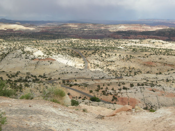
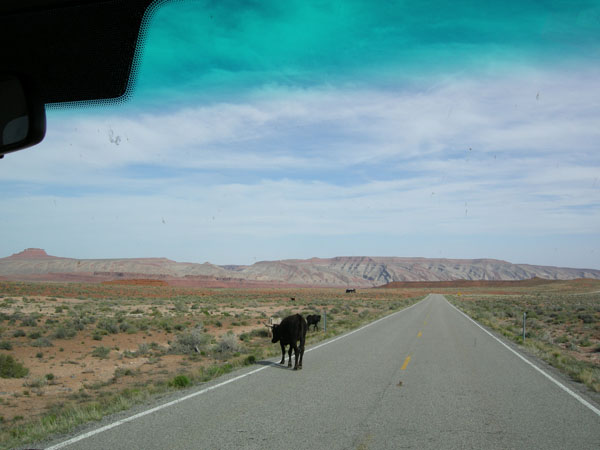
We were running out of time so we didn't follow it.

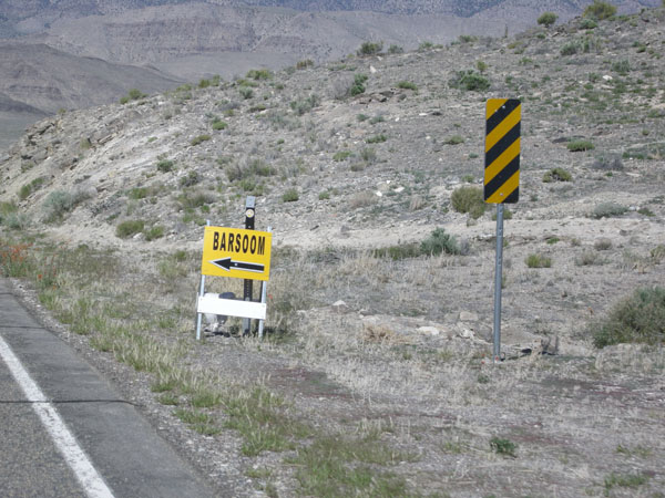
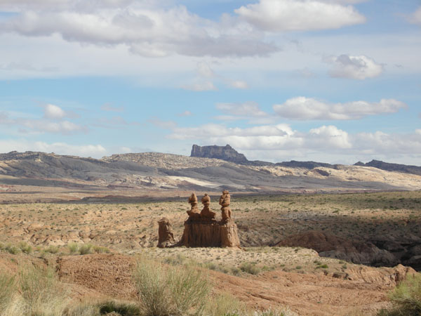
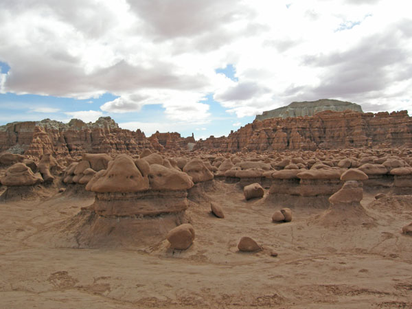
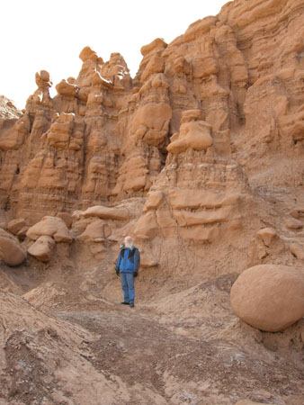
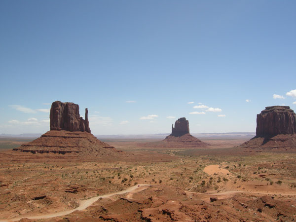
Probably filming for "John Carter of Mars"

sw us 2010
Turning north toward home sw us 2010
Crossed into Nevada to the only national park in the state: Grand Basin NP and Lehman Caves. sw us 2010
  sw us 2010
  sw us 2010
  sw us 2010
  sw us 2010
  sw us 2010
  sw us 2010
Lava tube in Oregon is quite a contrast with Lehman Caves. sw us 2010
The windfarms on the Columbia hills greet us as we get back to your home territiory. sw us 2010

Back to Travel Page


all text and images copyright Karen and Dick Seymour 2016,
and may not be reproduced without written permission

Back to the Seymour Stained Glass website:

Home Show
Schedule
Class
Schedule
DIY Book &
Patterns
FAQs, Links
Info., etc.
Contact &
About us
Ordering Gallery