Travels with Dick and Karen
Eclipse May 2012
Part 3
John Day Fossil Beds |
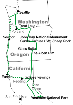 |
| From Yosemite we head north through the rounded dry hills of north-central California and their well spaced trees. |
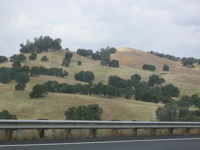 |
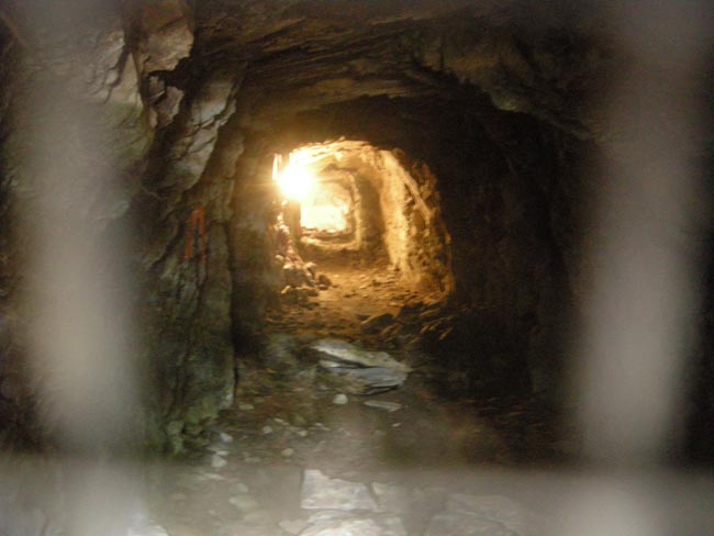
We camped at the Gold Strike Campground in San Andreas: it was decorated with old mining hardware |
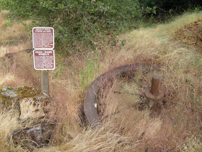 |
...and the closed mine. |
 |
| But they leave the light on. |
 |
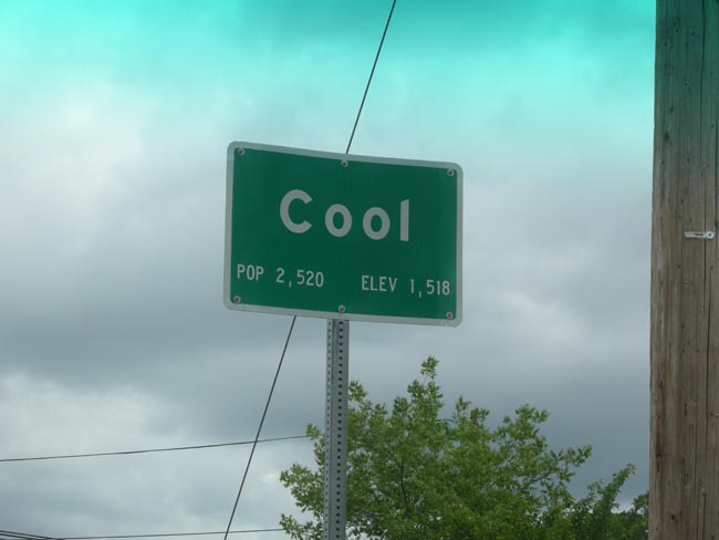
| A twisty road like Cal 49 attracts motorcycles... here's the tail end of a tribe that rumbled by |
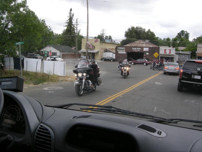 |
| ...near an appropriately-named town. |
 |
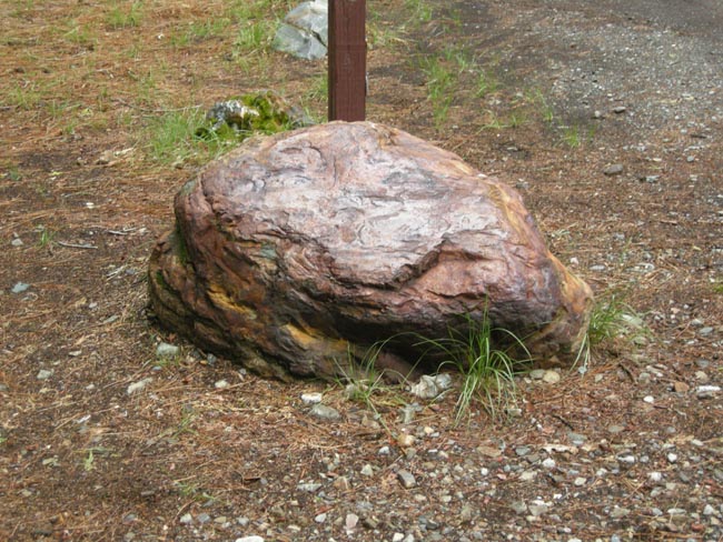
We spent the night at the Wild Plum campground near Sierra City. Our spot featured a lovely piece of jasper as a stake marker. |
 |
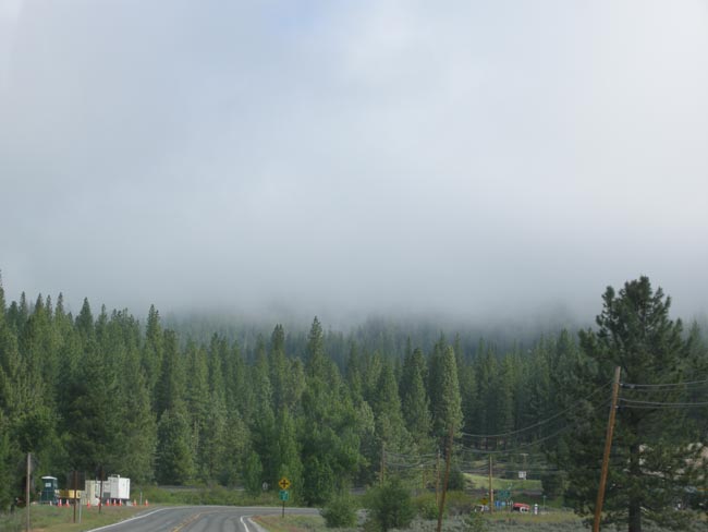
| In the morning the hills were hidden in fog as we continued on a vaguely northeast track. |
 |
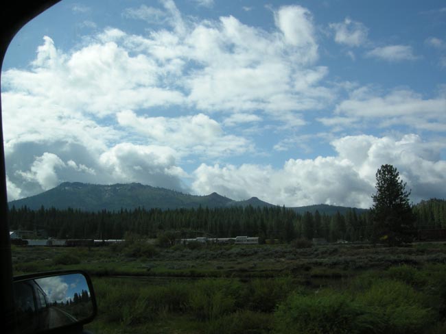
| Speaking of tracks, the clouds began to lift as we went past Portola and its Western Pacific Railway museum. Maybe next time... |
 |
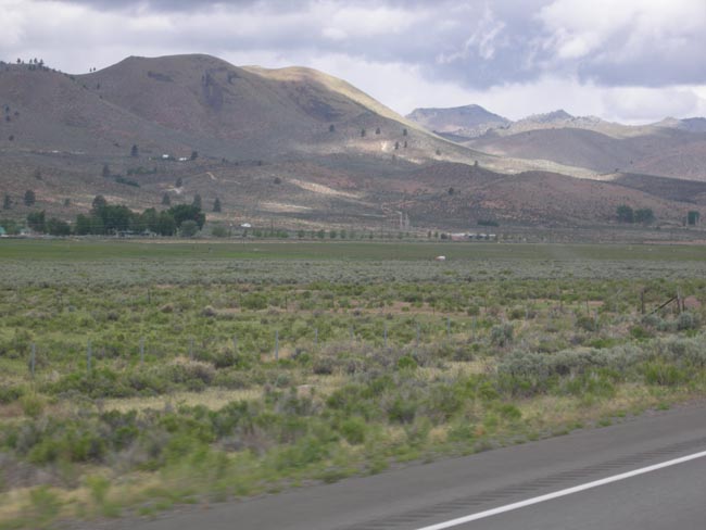
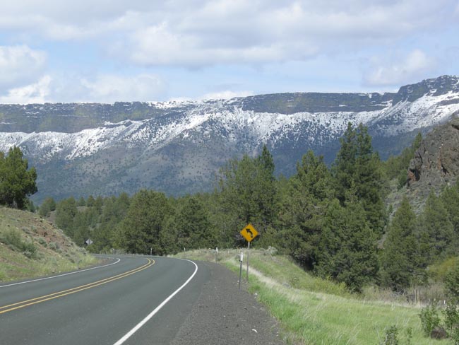
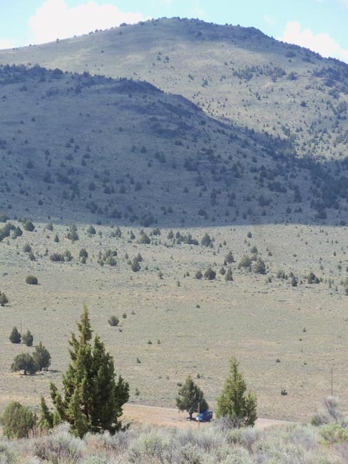
Reaching US 395, we headed north. The adjacent land became flatter and drier. |
 |
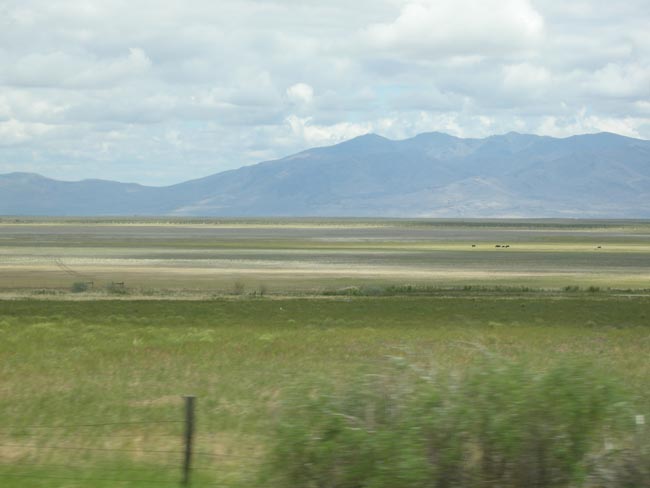
| Goose Lake, spanning the border between California and Oregon |
 |
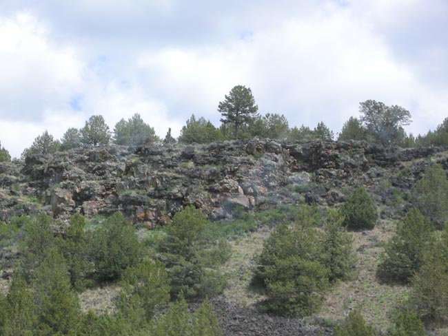
| And soon lava outcrops started appearing along the road. |
 |
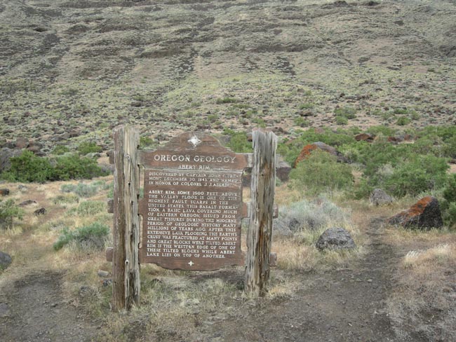
| Then we drove for miles along one of the highest fault scarps in the USA. |
 |
| The Albert Rim: rising 2500 feet above us, with an 800 foot thick layer of basalt as its cap. |
 |
impressive miles of it...
With more than a thirty-mile expanse, it is the longest exposed scarp in the US |
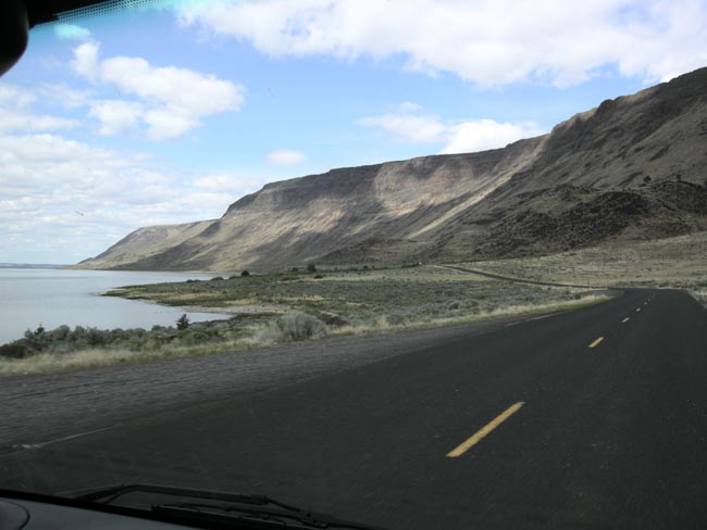 |
| Albert Lake, lying on a surface similar to the top of the Rim beside it. |
 |
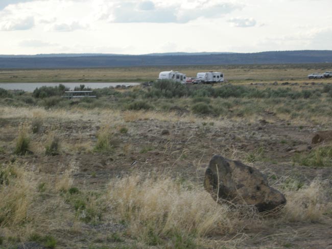
| The Chicahominy Reservoir and Forest Service campground, a few miles west of Riley, Oregon |
 |
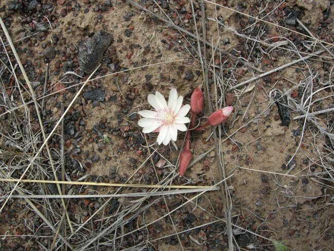
| Obsidian fragments and a lovely bitterroot or Lewisia rediviva. |
 |
| The next morning we climbed the nearby publicly-accessible Glass Butte looking for (and finding) obsidian. This stuff is unusual in that it is both red and black. |
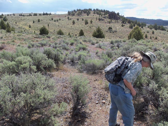 |
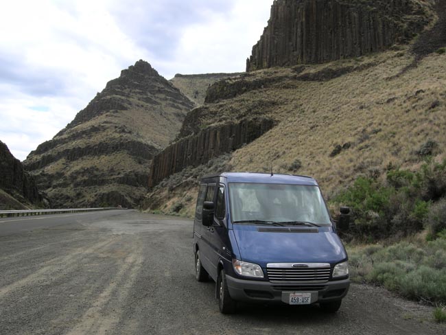
The trusty Sprinter waiting (in the shade) for us to come back down. With all of the sharp obsidian we didn't want to risk the tires.
The two hills behind it are also massive piles of obsidian. |
 |
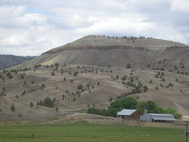
| We back-tracked a bit through Ripley, rejoining US 395 to head north to the town of John Day, then west on US 26. We were now in moister (or irrigated) territory following the John Day river. The surrounding landscape is still volcanic -- notice the band of basalt along the hilltop. |
 |
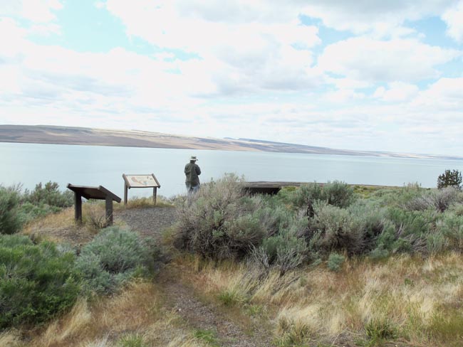
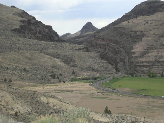
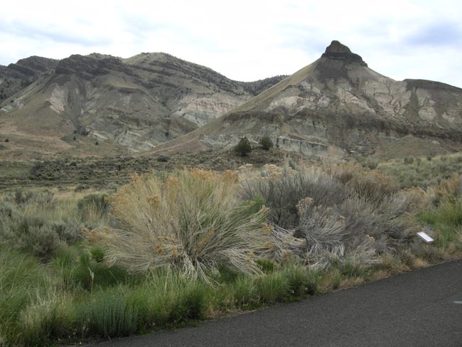
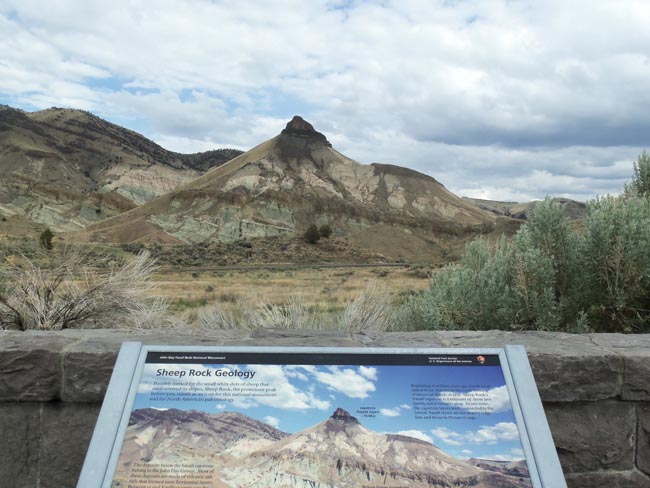
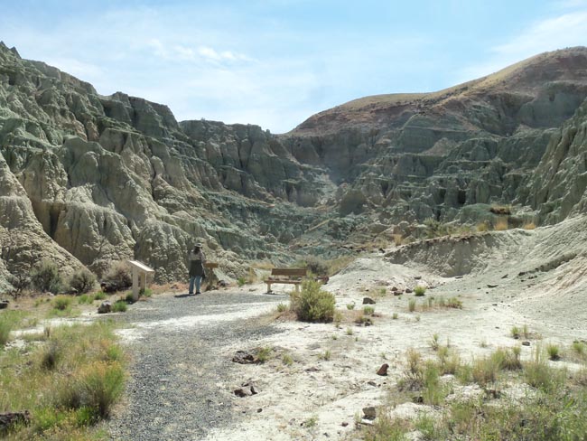
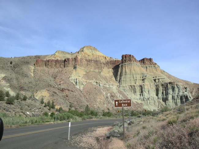
| The road snakes through a sheer narrow cleft into Sheep Rock, one of the 4 areas that make up the John Day Fossil Bed National Monument. |
 |
| Stopping beyond the cleft to look at the lava layer cake. |
 |
| More of the same on the other side, as seen from the Visitor Center's parking lot. |
 |
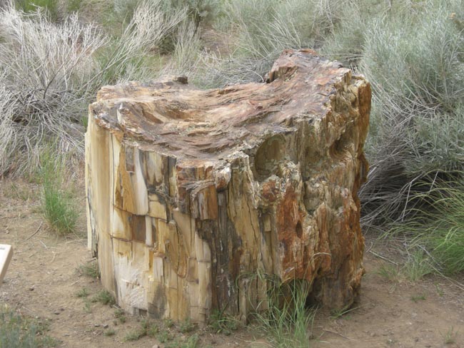
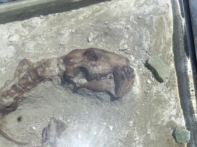
Petrified wood at the Visitor's Center.
The Visitor Center had excellent displays and explanations of the fossil-rich sedimentary history of the area, plus an active paleontology lab (similar to the Burke Museum at the University of Washington). |
 |
| an unpaid volunteer |
 |
The Monument has three widely-spaced "units": Sheep Rock, Painted Hills and Clarno.
We had decided to spend a couple of days exploring them all instead of our usual habit of dropping in on one for a few minutes on the way to somewhere else.
The hill to the left of Sheep Rock demonstrates the theme of the area: alternating layers of lava flows covering (and protecting from weathering) layers of fossil-bearing ancient lake floors.
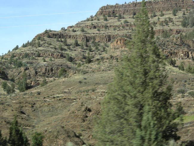
About 16 million years ago continental drift brought Washington and Oregon above the "hot spot" that would eventually end up under current-day Yellowstone. Over the course of about a million years, periodic floods of basalt covered the land. |
 |
| We spent the night in a campground in Dayville (showers! laundry!), and started out early the next morning. We think we took all of the easier nature trails through the Monument |
 |
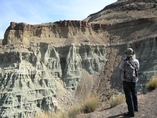
| Spectacular scenery, with their caps of basalt over alternating layers of lava and sediment |
 |
| Some of the trails had processed fossils under protective plastic display domes. |
 |
The ever-present (but skittish) volunteer staff... |
 |
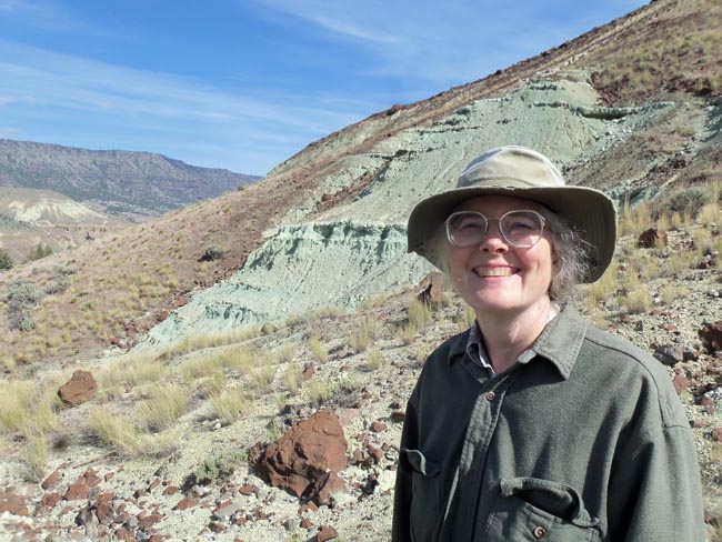
| Put Karen near a bunch of old (or very young) rocks to bring out a smile |
 |
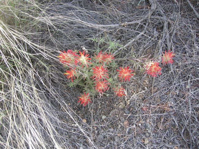
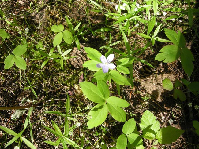
| Indian Paintbrush |
 |
| Erosion working its magic... new fossils continuously pop out into view |
 |
| layers of basalt from successive lava flows |
 |
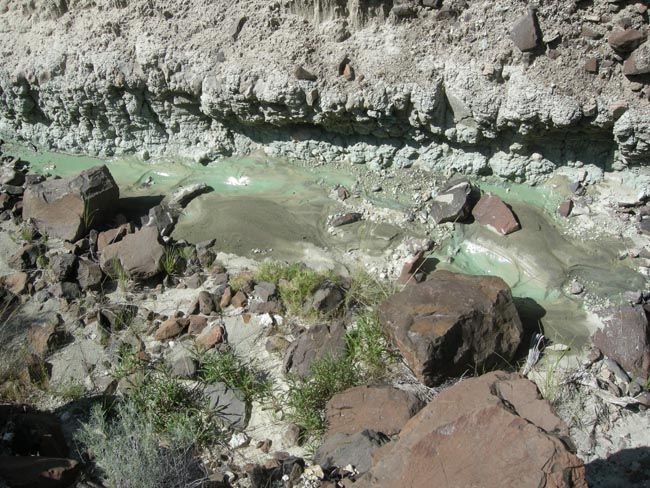
| The minerals turn the water green here. Just see a few frames further what they do to the land. |
 |
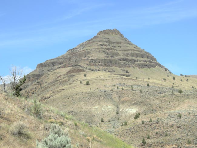
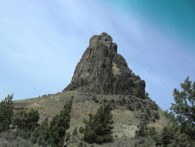
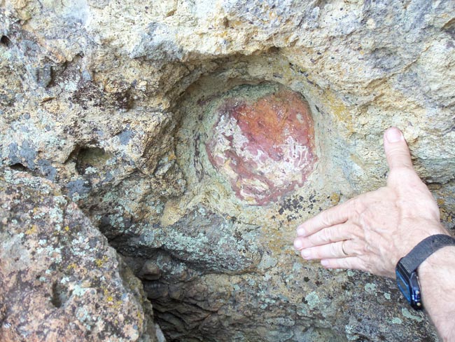
| An old volcano's core... |
 |
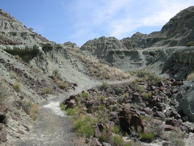
| Trails through the layers |
 |
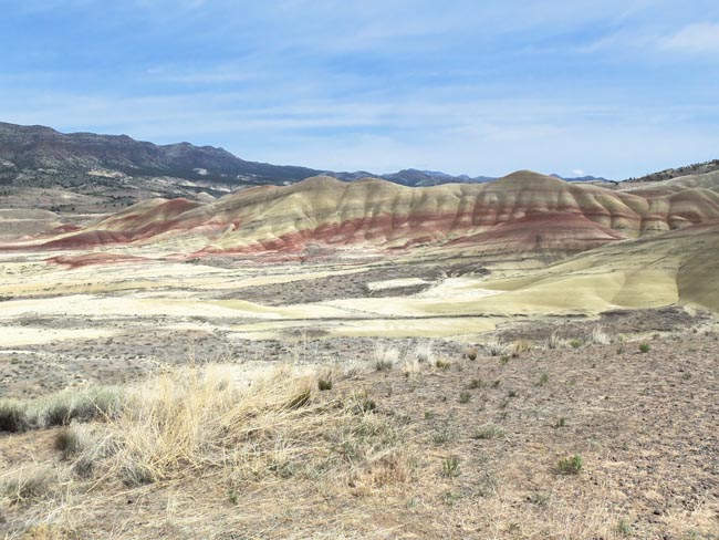
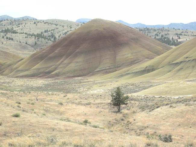
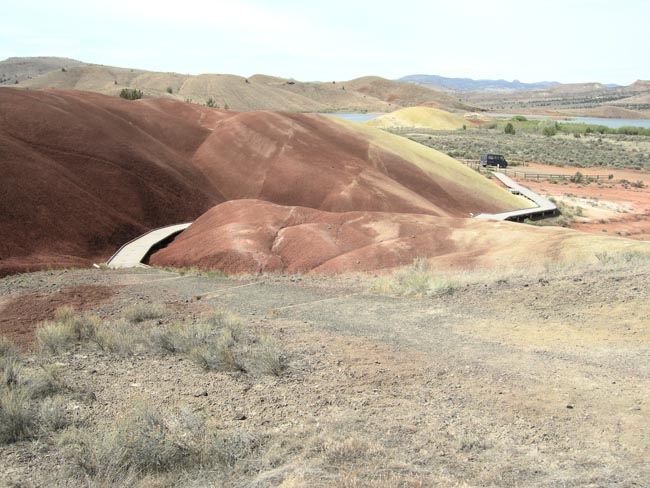
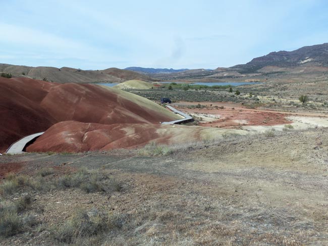
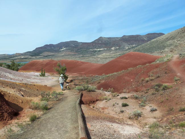
| 42 miles away from the Sheep Rock area is the Painted Hills unit of the monument |
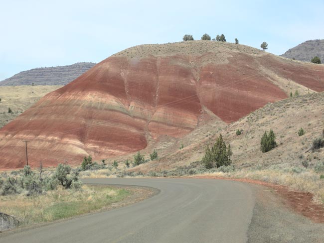 |
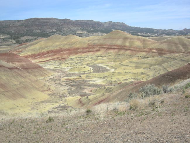
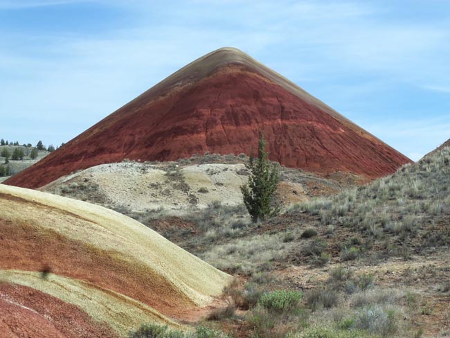
| Here the minerals are not flowing in streams, they're still coloring the landscape |
 |
| |
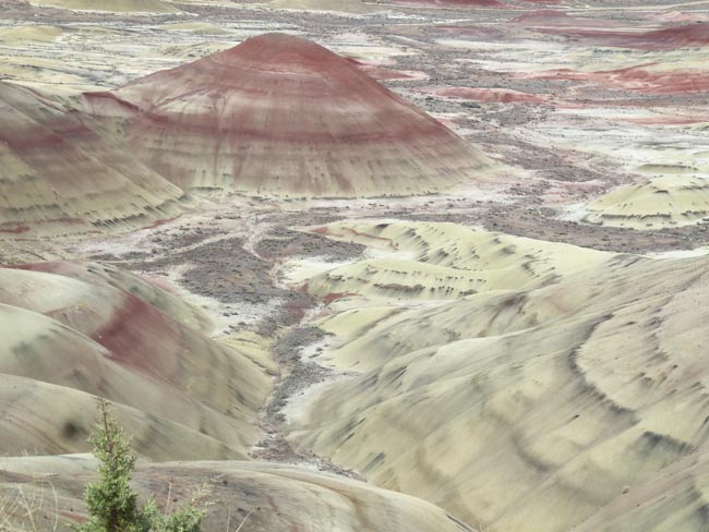 |
| The reds are primarily iron compounds... and so are the greens. The color differences come from whether the iron atoms are bound in "ferric" (3 valence electrons) or "ferrous" (two) form.nbsp; |
 |
| |
 |
| More of the helpful volunteers... probably looking to help himself to another volunteer |
 |
| This was the day after Memorial Day... note the crowds. |
 |
| |
 |
| As the sun moved acros the sky, the quality of the lighting and colors would subtlely change |
 |
| |
 |
| After a night in the Bear Creek Hollow campground near Fossil, Oregon, we headed for the monument's third unit, Clarno |
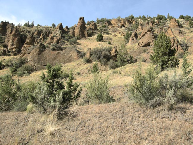 |
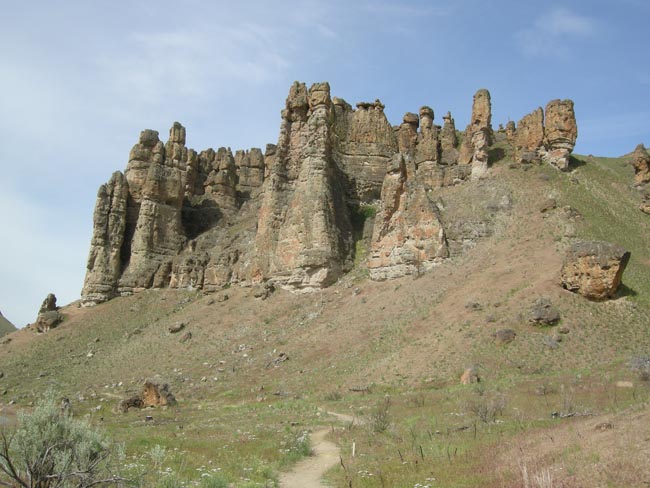
| Ancient volcanic mudflows created vast areas of columns called lahars. The mudflows would bury the local plants and animals, leading to the rich fossils in the area. |
 |
| The most prominent example of the landform is called The Palisades. A trail snakes up from a display of the sparse modern vegetation. |
 |
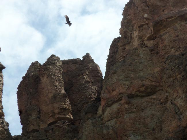
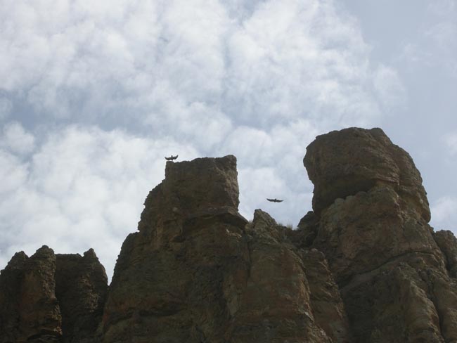
| On a steep trail leading between embedded fossils, we spent quite some time watching the turkey buzzards -- they seemed to have a nest on the top of the cliff. |
 |
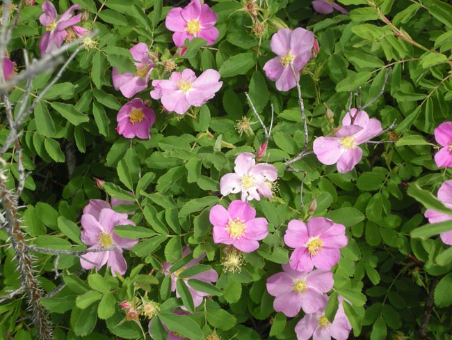
| unlike home in Seattle, spring had advanced to roses here, |
 |
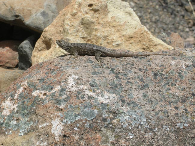
| The buzzards were obviously hoping we'd pass out from the heat... |
 |
| ...or that the locals would. |
 |
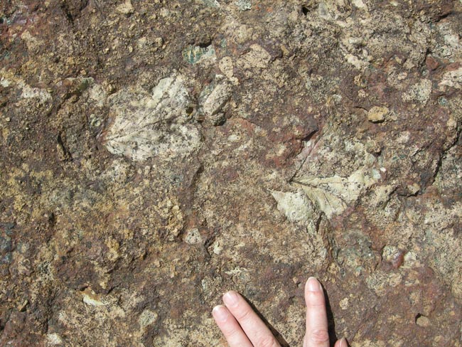
| Fossil leaves embedded in the rocks |
 |
| And the trunks of trees... the organic matter is completely replaced by dissolved minerals |
 |
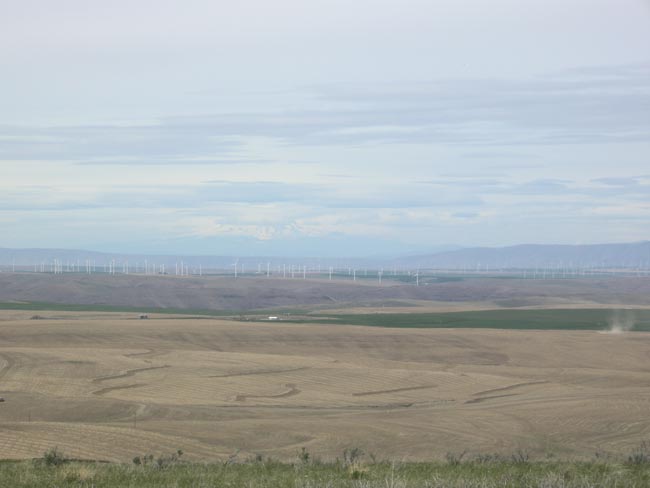
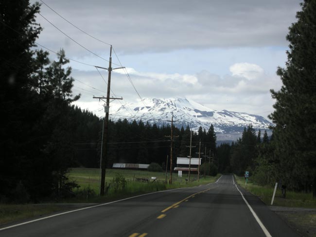
| On the road once more, looking across miles of wheat north toward Mt. St. Helens with windmills and dust devils. |
 |
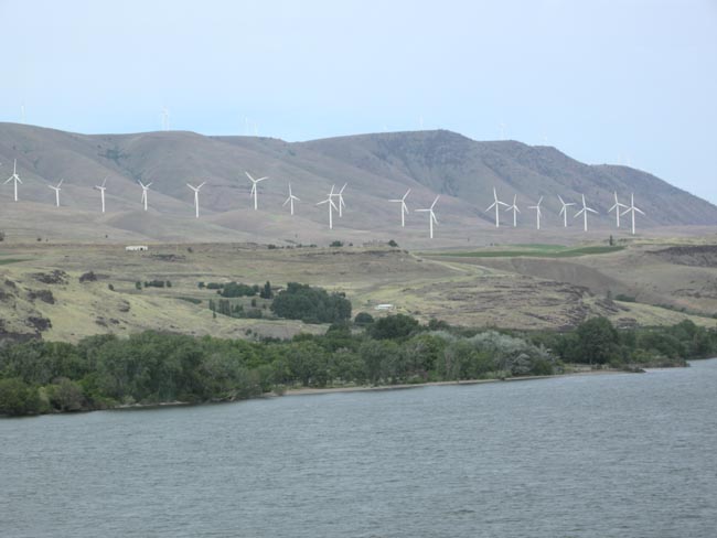
| Washington too has windmills, across the Columbia. |
 |
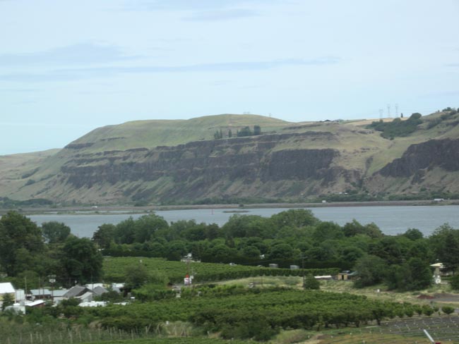
| Shun-piking I-84, we crossed to the north side of the Columbia, letting us watch the layers of basalt on the Oregon side of the Columbia River |
 |
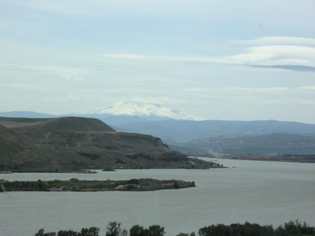
| The Columbia River and Mt. St. Helens (the unexploded side). |
 |
| We had hoped to take the forest roads past Mt St. Helens but they were still closed due to snow. We camped for the night outside Trout Lake. |
 |
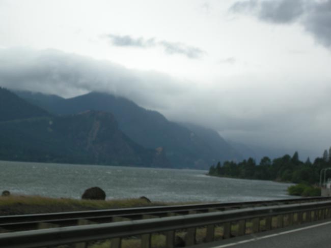
| So we doubled back south and resumed following the Columbia River westward.
The rain finally found us, lowering our enthusiasm for walking excursions.
We eventually reached I-205 and took the freeway home to Seattle. |
 |
| The spring flowers in the Trout Lake Creek campground promised better weather soon. |
 |